Aguilares geodata
Aguilares (San Salvador) is a populated place; located in El Salvador in America/El_Salvador (GMT-6) time zone. With population of 21,445 people, there are 24 cities with bigger population in this country. Compared to other cities in El Salvador, 89% of cities are located further ↓South; 64% of cities are located further →East and 65% of cities have higher elevation than Aguilares. Note1


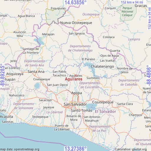
Aguilares GPS coordinates[2]
13° 57' 25.992" North, 89° 11' 22.992" West
| Map corner | latitude | longitude |
|---|---|---|
| Upper-left | 14.63856°, | -89.89285° |
| Center: | 13.95722°, | -89.18972° |
| Lower-right: | 13.27386°, | -88.4866° |
| Map W x H: | 151.7×151.7 km | = 94.3×94.3mi |
| max Lat: | 14.33333° ⇑11% North |
| Aguilares: | 13.95722° |
| min Lat: | ⇓89% South 13.19694° |
| min Long | Aguilares | max Long |
| -90.01583° | -89.18972° | -87.83861° |
| W 36%⇐ | ⇒64% E |
Elevation
Elevation of Aguilares is 304 m = 997 ft, and this is 167.9 m = 551 ft below average elevation for this country.
| Max E: |
1255 m = 4117 ft | 65% |
| Avg. | 471.9 m = 1548 ft | |
| Aguilares | 304 m = 997 ft | |
Min E: |
13 m = 43 ft | 35% |
See also: El Salvador elevation on elevation.city.
Geographical zone
Aguilares is located in North Torrid zone (between Equator and Tropic of Cancer). Distance of this Northern Tropic circle is 1054 km =654.9 mi to North.| Distance of | km | miles | from Aguilares |
|---|---|---|---|
| North Pole | 8455.2 | 5253.8 | to North |
| Arctic Circle | 5849.3 | 3634.6 | to North |
| Tropic Cancer | 1054 | 654.9 | to North |
| Equator | 1551.9 | 964.3 | to South |


Nearby cities:
15 places around Aguilares: (largest is in red/bold)
• Apopa
16.7 km =10.4 mi,  176°
176°
• Ayutuxtepeque
23.6 km =14.7 mi, 184°
• Cuscatancingo
24.6 km =15.3 mi, 177°
• Delgado
26 km =16.2 mi, 175°
• El Paisnal
3.6 km =2.2 mi,  300°
300°
• Guazapa
9.1 km =5.7 mi,  168°
168°
• Mejicanos
24.3 km =15.1 mi,  185°
185°
• Nueva Concepción
22.9 km =14.2 mi,  328°
328°
• Quezaltepeque
16.6 km =10.3 mi,  212°
212°
• San Juan Opico
20.4 km =12.7 mi,  243°
243°
• San Pablo Tacachico
16.3 km =10.1 mi,  277°
277°
• Suchitoto
17.6 km =10.9 mi,  96°
96°
• Tecoluca
27.3 km =17 mi,  133°
133°
• Tenancingo
26.2 km =16.3 mi,  121°
121°
• Tonacatepeque
21 km =13 mi,  158°
158°
Sources, notices
• [Note1] Compared only with cities in El Salvador existing in our database
• [Src1] Map data: © OpenStreetMap contributors (CC-BY-SA)
• [Src2] Other city data from geonames.org with taken over terms of usage.
• [Src3] Geographical zone / Annual Mean Temperature by Robert A. Rohde @ Wikipedia
