Subaykhān geodata
Subaykhān (Deir ez-Zor) is a populated place; located in Syria in Asia/Damascus (GMT+3) time zone. With population of 25,514 people, there are 61 cities with bigger population in this country. Compared to other cities in Syria, 61.8% of cities are located further ↑North; 93.6% of cities are located further ←West and 91.9% of cities have higher elevation than Subaykhān. Note1


Subaykhān GPS coordinates[2]
34° 51' 10.98" North, 40° 35' 59.532" East
| Map corner | latitude | longitude |
|---|---|---|
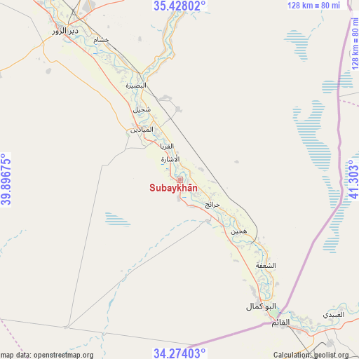
| Upper-left | 35.42802°, | 39.89675° |
| Center: | 34.85305°, | 40.59987° |
| Lower-right: | 34.27403°, | 41.303° |
| Map W x H: | 128.3×128.3 km | = 79.7×79.7mi |
| max Lat: | 37.17701° ⇑61.8% North |
| Subaykhān: | 34.85305° |
| min Lat: | ⇓38.2% South 32.39332° |
| min Long | Subaykhān | max Long |
| 35.75572° | 40.59987° | 42.14006° |
| W 93.6%⇐ | ⇒6.4% E |
Elevation
Elevation of Subaykhān is 188 m = 617 ft, and this is 341.1 m = 1119 ft below average elevation for this country.
| Max E: |
1640 m = 5381 ft | 91.9% |
| Avg. | 529.1 m = 1736 ft | |
| Subaykhān | 188 m = 617 ft | |
Min E: |
4 m = 13 ft | 8.1% |
See also: Syria elevation on elevation.city.
Geographical zone
Subaykhān is located in North temperate zone (between Tropic of Cancer and the Arctic Circle). Distance of this Northern Tropic circle is 1269.4 km =788.8 mi to South.| Distance of | km | miles | from Subaykhān |
|---|---|---|---|
| North Pole | 6131.8 | 3810.1 | to North |
| Arctic Circle | 3525.9 | 2190.9 | to North |
| Tropic Cancer | 1269.4 | 788.8 | to South |
| Equator | 3875.3 | 2408 | to South |


Nearby cities:
15 places around Subaykhān: (largest is in red/bold)
• Al Buşayrah
37.2 km =23.1 mi,  334°
334°
• Al Jalā’
32.9 km =20.4 mi,  137°
137°
• Al Kasrah
100.6 km =62.5 mi,  322°
322°
• Al Mayādīn
22.9 km =14.2 mi, 323°
• Al ‘Ashārah
8.4 km =5.2 mi, 334°
• As Sūsah
48.3 km =30 mi, 137°
• Ash Shaddādah
134.5 km =83.6 mi,  5°
5°
• At Tibnī
110.3 km =68.5 mi, 319°
• Deir ez-Zor
68 km =42.3 mi, 322°
• Dhībān
19.8 km =12.3 mi,  335°
335°
• Hajīn
27.5 km =17.1 mi,  129°
129°
• Khushām
57.3 km =35.6 mi, 330°
• Markadah
100.3 km =62.3 mi, 7°
• Mūḩ Ḩasan
49.5 km =30.8 mi, 328°
• Ālbū Kamāl
53.2 km =33.1 mi,  146°
146°
Sources, notices
• [Note1] Compared only with cities in Syria existing in our database
• [Src1] Map data: © OpenStreetMap contributors (CC-BY-SA)
• [Src2] Other city data from geonames.org with taken over terms of usage.
• [Src3] Geographical zone / Annual Mean Temperature by Robert A. Rohde @ Wikipedia
