Mūḩ Ḩasan geodata
Mūḩ Ḩasan (Deir ez-Zor) is a seat of a third-order administrative division; located in Syria in Asia/Damascus (GMT+3) time zone. In our database, there are 87 cities with bigger population. Compared to other cities in Syria, 52.3% of cities are located further ↓South; 91.5% of cities are located further ←West and 89% of cities have higher elevation than Mūḩ Ḩasan. Note1


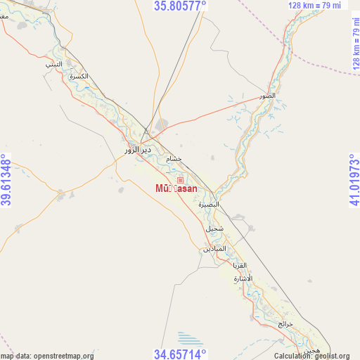
Mūḩ Ḩasan GPS coordinates[2]
35° 14' 0.564" North, 40° 18' 59.76" East
| Map corner | latitude | longitude |
|---|---|---|
| Upper-left | 35.80577°, | 39.61348° |
| Center: | 35.23349°, | 40.3166° |
| Lower-right: | 34.65714°, | 41.01973° |
| Map W x H: | 127.7×127.7 km | = 79.3×79.3mi |
| max Lat: | 37.17701° ⇑47.7% North |
| Mūḩ Ḩasan: | 35.23349° |
| min Lat: | ⇓52.3% South 32.39332° |
| min Long | Mūḩ Ḩasan | max Long |
| 35.75572° | 40.3166° | 42.14006° |
| W 91.5%⇐ | ⇒8.5% E |
Elevation
Elevation of Mūḩ Ḩasan is 200 m = 656 ft, and this is 329.1 m = 1080 ft below average elevation for this country.
| Max E: |
1640 m = 5381 ft | 89% |
| Avg. | 529.1 m = 1736 ft | |
| Mūḩ Ḩasan | 200 m = 656 ft | |
Min E: |
4 m = 13 ft | 11% |
See also: Syria elevation on elevation.city.
Geographical zone
Mūḩ Ḩasan is located in North temperate zone (between Tropic of Cancer and the Arctic Circle). Distance of this Northern Tropic circle is 1311.7 km =815.1 mi to South.| Distance of | km | miles | from Mūḩ Ḩasan |
|---|---|---|---|
| North Pole | 6089.5 | 3783.8 | to North |
| Arctic Circle | 3483.6 | 2164.6 | to North |
| Tropic Cancer | 1311.7 | 815.1 | to South |
| Equator | 3917.6 | 2434.3 | to South |


Nearby cities:
15 places around Mūḩ Ḩasan: (largest is in red/bold)
• Al Buşayrah
13.2 km =8.2 mi,  130°
130°
• Al Jalā’
82 km =51 mi,  144°
144°
• Al Kasrah
51.7 km =32.1 mi,  315°
315°
• Al Mayādīn
26.7 km =16.6 mi,  152°
152°
• Al ‘Ashārah
41.2 km =25.6 mi, 147°
• As Sūsah
97.4 km =60.5 mi, 143°
• Ash Shaddādah
99.1 km =61.6 mi,  22°
22°
• At Tibnī
61.7 km =38.3 mi,  312°
312°
• Deir ez-Zor
19.6 km =12.2 mi, 305°
• Dhībān
30 km =18.6 mi, 144°
• Hajīn
76.1 km =47.3 mi, 141°
• Khushām
7.9 km =4.9 mi,  341°
341°
• Markadah
69.4 km =43.1 mi,  34°
34°
• Ma‘dān
87.1 km =54.1 mi, 311°
• Subaykhān
49.5 km =30.8 mi, 148°
Sources, notices
• [Note1] Compared only with cities in Syria existing in our database
• [Src1] Map data: © OpenStreetMap contributors (CC-BY-SA)
• [Src2] Other city data from geonames.org with taken over terms of usage.
• [Src3] Geographical zone / Annual Mean Temperature by Robert A. Rohde @ Wikipedia
