Samrong geodata
Samrong (Changwat Ubon Ratchathani) is a seat of a second-order administrative division; located in Thailand in Asia/Bangkok (GMT+7) time zone. In our database, there are 331 cities with bigger population. Compared to other cities in Thailand, 50.3% of cities are located further ↓South; 97.4% of cities are located further ←West and 57.8% of cities have lower elevation than Samrong. Note1


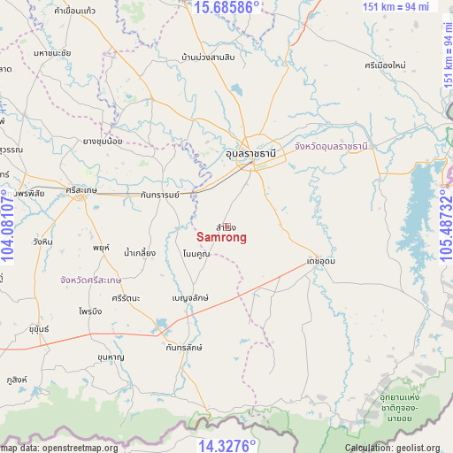
Samrong GPS coordinates[2]
15° 0' 28.116" North, 104° 47' 3.084" East
| Map corner | latitude | longitude |
|---|---|---|
| Upper-left | 15.68586°, | 104.08107° |
| Center: | 15.00781°, | 104.78419° |
| Lower-right: | 14.3276°, | 105.48732° |
| Map W x H: | 151×151 km | = 93.8×93.8mi |
| max Lat: | 20.43353° ⇑49.7% North |
| Samrong: | 15.00781° |
| min Lat: | ⇓50.3% South 5.77434° |
| min Long | Samrong | max Long |
| 97.93288° | 104.78419° | 105.49506° |
| W 97.4%⇐ | ⇒2.6% E |
Elevation
Elevation of Samrong is 143 m = 469 ft, and this is 17.5 m = 57 ft above average elevation for this country.
| Max E: |
1011 m = 3317 ft | 42.2% |
| Samrong | 143 m 469 ft | |
| Avg. | 125.5 m = 412 ft | |
Min E: |
1 m = 3 ft | 57.8% |
See also: Thailand elevation on elevation.city.
Geographical zone
Samrong is located in North Torrid zone (between Equator and Tropic of Cancer). Distance of this Northern Tropic circle is 937.2 km =582.3 mi to North.| Distance of | km | miles | from Samrong |
|---|---|---|---|
| North Pole | 8338.3 | 5181.2 | to North |
| Arctic Circle | 5732.5 | 3562 | to North |
| Tropic Cancer | 937.2 | 582.3 | to North |
| Equator | 1668.7 | 1036.9 | to South |


Nearby cities:
15 places around Samrong: (largest is in red/bold)
• Benchalak
26.6 km =16.5 mi,  207°
207°
• Det Udom
33.6 km =20.9 mi,  109°
109°
• Kantharalak
43.3 km =26.9 mi,  199°
199°
• Kanthararom
25 km =15.5 mi,  295°
295°
• Lao Suea Kok
48 km =29.8 mi,  18°
18°
• Na Yia
30.3 km =18.8 mi,  78°
78°
• Nam Kliang
30.5 km =19 mi,  252°
252°
• Non Kho
12 km =7.5 mi, 212°
• Phayu
43.7 km =27.2 mi,  255°
255°
• Sawang Wirawong
42.1 km =26.2 mi,  51°
51°
• Si Rattana
41.4 km =25.7 mi,  234°
234°
• Siao
26.6 km =16.5 mi, 207°
• Thung Si Udom
33.4 km =20.8 mi,  156°
156°
• Ubon Ratchathani
26.6 km =16.5 mi, 15°
• Warin Chamrap
22.3 km =13.9 mi, 22°
Sources, notices
• [Note1] Compared only with cities in Thailand existing in our database
• [Src1] Map data: © OpenStreetMap contributors (CC-BY-SA)
• [Src2] Other city data from geonames.org with taken over terms of usage.
• [Src3] Geographical zone / Annual Mean Temperature by Robert A. Rohde @ Wikipedia
