Tha Khantho geodata
Tha Khantho (Kalasin) is a seat of a second-order administrative division; located in Thailand in Asia/Bangkok (GMT+7) time zone. In our database, there are 331 cities with bigger population. Compared to other cities in Thailand, 77.4% of cities are located further ↓South; 82.2% of cities are located further ←West and 73.4% of cities have lower elevation than Tha Khantho. Note1


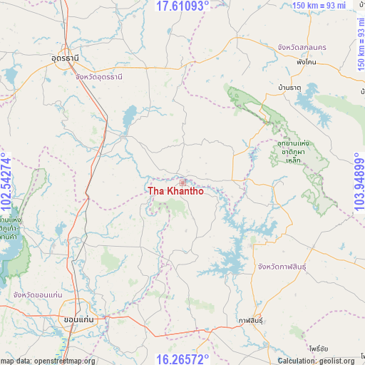
Tha Khantho GPS coordinates[2]
16° 56' 22.308" North, 103° 14' 45.096" East
| Map corner | latitude | longitude |
|---|---|---|
| Upper-left | 17.61093°, | 102.54274° |
| Center: | 16.93953°, | 103.24586° |
| Lower-right: | 16.26572°, | 103.94899° |
| Map W x H: | 149.6×149.6 km | = 93×93mi |
| max Lat: | 20.43353° ⇑22.6% North |
| Tha Khantho: | 16.93953° |
| min Lat: | ⇓77.4% South 5.77434° |
| min Long | Tha Khantho | max Long |
| 97.93288° | 103.24586° | 105.49506° |
| W 82.2%⇐ | ⇒17.8% E |
Elevation
Elevation of Tha Khantho is 178 m = 584 ft, and this is 52.5 m = 172 ft above average elevation for this country.
| Max E: |
1011 m = 3317 ft | 26.6% |
| Tha Khantho | 178 m 584 ft | |
| Avg. | 125.5 m = 412 ft | |
Min E: |
1 m = 3 ft | 73.4% |
See also: Thailand elevation on elevation.city.
Geographical zone
Tha Khantho is located in North Torrid zone (between Equator and Tropic of Cancer). Distance of this Northern Tropic circle is 722.4 km =448.9 mi to North.| Distance of | km | miles | from Tha Khantho |
|---|---|---|---|
| North Pole | 8123.6 | 5047.8 | to North |
| Arctic Circle | 5517.7 | 3428.5 | to North |
| Tropic Cancer | 722.4 | 448.9 | to North |
| Equator | 1883.5 | 1170.4 | to South |


Nearby cities:
15 places around Tha Khantho: (largest is in red/bold)
• Ban Nong Wua So
36.5 km =22.7 mi,  356°
356°
• Ban Phan Don
36.8 km =22.9 mi,  307°
307°
• Chaiwan
39.5 km =24.5 mi, 358°
• Huai Mek
38.9 km =24.2 mi,  181°
181°
• Kham Muang
41.4 km =25.7 mi,  91°
91°
• Kranuan
31.4 km =19.5 mi,  214°
214°
• Ku Kaeo
27.7 km =17.2 mi,  339°
339°
• Kumphawapi
30.9 km =19.2 mi, 307°
• Non Sa-at
37.7 km =23.4 mi,  276°
276°
• Nong Kung Si
32.7 km =20.3 mi,  169°
169°
• Sahatsakhan
38.6 km =24 mi,  130°
130°
• Sam Chai
32.5 km =20.2 mi,  105°
105°
• Samran
32.5 km =20.2 mi, 105°
• Si That
4.9 km =3 mi,  320°
320°
• Wang Sam Mo
20.3 km =12.6 mi, 85°
Sources, notices
• [Note1] Compared only with cities in Thailand existing in our database
• [Src1] Map data: © OpenStreetMap contributors (CC-BY-SA)
• [Src2] Other city data from geonames.org with taken over terms of usage.
• [Src3] Geographical zone / Annual Mean Temperature by Robert A. Rohde @ Wikipedia
