Ban Nong Wua So geodata
Ban Nong Wua So (Changwat Udon Thani) is a populated place; located in Thailand in Asia/Bangkok (GMT+7) time zone. With population of 21,722 people, there are 147 cities with bigger population in this country. Compared to other cities in Thailand, 81.3% of cities are located further ↓South; 81.8% of cities are located further ←West and 74.3% of cities have lower elevation than Ban Nong Wua So. Note1


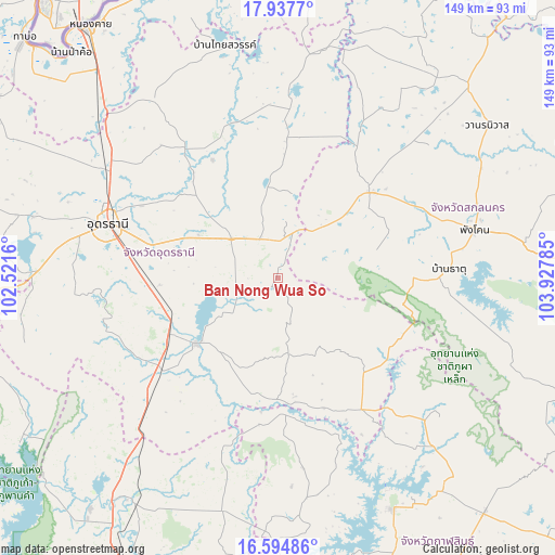
Ban Nong Wua So GPS coordinates[2]
17° 16' 3" North, 103° 13' 28.992" East
| Map corner | latitude | longitude |
|---|---|---|
| Upper-left | 17.9377°, | 102.5216° |
| Center: | 17.2675°, | 103.22472° |
| Lower-right: | 16.59486°, | 103.92785° |
| Map W x H: | 149.3×149.3 km | = 92.8×92.8mi |
| max Lat: | 20.43353° ⇑18.7% North |
| Ban Nong Wua So: | 17.2675° |
| min Lat: | ⇓81.3% South 5.77434° |
| min Long | Ban Nong Wua So | max Long |
| 97.93288° | 103.22472° | 105.49506° |
| W 81.8%⇐ | ⇒18.2% E |
Elevation
Elevation of Ban Nong Wua So is 181 m = 594 ft, and this is 55.5 m = 182 ft above average elevation for this country.
| Max E: |
1011 m = 3317 ft | 25.7% |
| Ban Nong Wua So | 181 m 594 ft | |
| Avg. | 125.5 m = 412 ft | |
Min E: |
1 m = 3 ft | 74.3% |
See also: Thailand elevation on elevation.city.
Geographical zone
Ban Nong Wua So is located in North Torrid zone (between Equator and Tropic of Cancer). Distance of this Northern Tropic circle is 686 km =426.3 mi to North.| Distance of | km | miles | from Ban Nong Wua So |
|---|---|---|---|
| North Pole | 8087.1 | 5025.1 | to North |
| Arctic Circle | 5481.2 | 3405.9 | to North |
| Tropic Cancer | 686 | 426.3 | to North |
| Equator | 1920 | 1193 | to South |


Nearby cities:
15 places around Ban Nong Wua So: (largest is in red/bold)
• Ban Na Muang
23.1 km =14.4 mi,  261°
261°
• Ban Phan Don
30.2 km =18.8 mi,  242°
242°
• Chaiwan
3.2 km =2 mi,  17°
17°
• Ku Kaeo
13.1 km =8.1 mi,  215°
215°
• Kumphawapi
28.4 km =17.6 mi,  231°
231°
• Non Sa-at
47.6 km =29.6 mi, 227°
• Nong Han
16.4 km =10.2 mi,  309°
309°
• Phibun Rak
36.4 km =22.6 mi,  330°
330°
• Sawang Daen Din
33.8 km =21 mi,  46°
46°
• Si That
32.7 km =20.3 mi,  181°
181°
• Song Dao
27.7 km =17.2 mi,  73°
73°
• Tha Khantho
36.5 km =22.7 mi, 176°
• Thung Fon
23 km =14.3 mi,  9°
9°
• Wang Sam Mo
41.6 km =25.8 mi,  147°
147°
• Warichaphum
44 km =27.3 mi,  86°
86°
Sources, notices
• [Note1] Compared only with cities in Thailand existing in our database
• [Src1] Map data: © OpenStreetMap contributors (CC-BY-SA)
• [Src2] Other city data from geonames.org with taken over terms of usage.
• [Src3] Geographical zone / Annual Mean Temperature by Robert A. Rohde @ Wikipedia
