Phu Pha Man geodata
Phu Pha Man (Khon Kaen) is a seat of a second-order administrative division; located in Thailand in Asia/Bangkok (GMT+7) time zone. In our database, there are 331 cities with bigger population. Compared to other cities in Thailand, 73.8% of cities are located further ↓South; 65.8% of cities are located further ←West and 88% of cities have lower elevation than Phu Pha Man. Note1


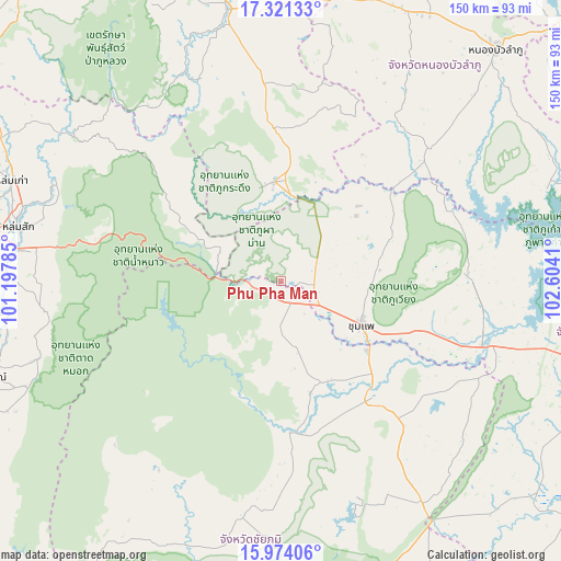
Phu Pha Man GPS coordinates[2]
16° 38' 55.968" North, 101° 54' 3.492" East
| Map corner | latitude | longitude |
|---|---|---|
| Upper-left | 17.32133°, | 101.19785° |
| Center: | 16.64888°, | 101.90097° |
| Lower-right: | 15.97406°, | 102.6041° |
| Map W x H: | 149.8×149.8 km | = 93.1×93.1mi |
| max Lat: | 20.43353° ⇑26.2% North |
| Phu Pha Man: | 16.64888° |
| min Lat: | ⇓73.8% South 5.77434° |
| min Long | Phu Pha Man | max Long |
| 97.93288° | 101.90097° | 105.49506° |
| W 65.8%⇐ | ⇒34.2% E |
Elevation
Elevation of Phu Pha Man is 249 m = 817 ft, and this is 123.5 m = 405 ft above average elevation for this country.
| Max E: |
1011 m = 3317 ft | 12% |
| Phu Pha Man | 249 m 817 ft | |
| Avg. | 125.5 m = 412 ft | |
Min E: |
1 m = 3 ft | 88% |
See also: Thailand elevation on elevation.city.
Geographical zone
Phu Pha Man is located in North Torrid zone (between Equator and Tropic of Cancer). Distance of this Northern Tropic circle is 754.7 km =468.9 mi to North.| Distance of | km | miles | from Phu Pha Man |
|---|---|---|---|
| North Pole | 8155.9 | 5067.8 | to North |
| Arctic Circle | 5550 | 3448.6 | to North |
| Tropic Cancer | 754.7 | 468.9 | to North |
| Equator | 1851.2 | 1150.3 | to South |


Nearby cities:
15 places around Phu Pha Man: (largest is in red/bold)
• Ban Thaen
54.3 km =33.7 mi,  119°
119°
• Chum Phae
24.1 km =15 mi, 118°
• Kaset Sombun
41.3 km =25.7 mi,  172°
172°
• Khon San
4.5 km =2.8 mi,  153°
153°
• Nam Nao
28 km =17.4 mi,  298°
298°
• Nong Hin
53 km =32.9 mi,  355°
355°
• Nong Na Kham
49.5 km =30.8 mi,  69°
69°
• Nong Ruea
59.3 km =36.8 mi,  106°
106°
• Pha Khao
48.3 km =30 mi,  16°
16°
• Phu Khiao
38.8 km =24.1 mi,  141°
141°
• Phu Kradueng
26.2 km =16.3 mi, 356°
• Phu Wiang
50.6 km =31.4 mi,  89°
89°
• Si Bun Rueang
53.3 km =33.1 mi,  48°
48°
• Si Chomphu
34.5 km =21.4 mi,  61°
61°
• Wiang Kao
41.1 km =25.5 mi,  84°
84°
Sources, notices
• [Note1] Compared only with cities in Thailand existing in our database
• [Src1] Map data: © OpenStreetMap contributors (CC-BY-SA)
• [Src2] Other city data from geonames.org with taken over terms of usage.
• [Src3] Geographical zone / Annual Mean Temperature by Robert A. Rohde @ Wikipedia
