Hammamet geodata
Hammamet (Nābul) is a populated place; located in Tunisia in Africa/Tunis (GMT+1) time zone. With population of 53,733 people, there are 24 cities with bigger population in this country. Compared to other cities in Tunisia, 62.9% of cities are located further ↓South; 69.2% of cities are located further ←West and 78.3% of cities have higher elevation than Hammamet. Note1


Hammamet GPS coordinates[2]
36° 24' 0" North, 10° 37' 0.012" East
| Map corner | latitude | longitude |
|---|---|---|
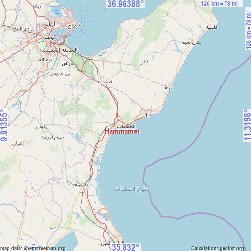
| Upper-left | 36.96388°, | 9.91355° |
| Center: | 36.4°, | 10.61667° |
| Lower-right: | 35.832°, | 11.3198° |
| Map W x H: | 125.9×125.9 km | = 78.2×78.2mi |
| max Lat: | 37.27442° ⇑37.1% North |
| Hammamet: | 36.4° |
| min Lat: | ⇓62.9% South 32.31662° |
| min Long | Hammamet | max Long |
| 7.87765° | 10.61667° | 11.21965° |
| W 69.2%⇐ | ⇒30.8% E |
Elevation
Elevation of Hammamet is 13 m = 43 ft, and this is 136.4 m = 448 ft below average elevation for this country.
| Max E: |
999 m = 3278 ft | 78.3% |
| Avg. | 149.4 m = 490 ft | |
| Hammamet | 13 m = 43 ft | |
Min E: |
-6 m = -20 ft | 21.7% |
See also: Hammamet elevation on elevation.city.
Geographical zone
Hammamet is located in North temperate zone (between Tropic of Cancer and the Arctic Circle). Distance of this Northern Tropic circle is 1441.4 km =895.6 mi to South.| Distance of | km | miles | from Hammamet |
|---|---|---|---|
| North Pole | 5959.8 | 3703.2 | to North |
| Arctic Circle | 3353.9 | 2084 | to North |
| Tropic Cancer | 1441.4 | 895.6 | to South |
| Equator | 4047.3 | 2514.9 | to South |


Nearby cities:
15 places around Hammamet: (largest is in red/bold)
• Beni Khalled
27.9 km =17.3 mi,  355°
355°
• Beni Khiar
16.7 km =10.4 mi,  62°
62°
• Bou Arkoub
16.5 km =10.3 mi,  339°
339°
• Dar Chabanne
14.2 km =8.8 mi, 57°
• Douane
13.5 km =8.4 mi,  66°
66°
• El Maamoura
18.4 km =11.4 mi, 66°
• El Mida
42 km =26.1 mi,  30°
30°
• Harqalah
42.2 km =26.2 mi,  193°
193°
• Korba
29.4 km =18.3 mi,  47°
47°
• La Sebala du Mornag
42.5 km =26.4 mi,  316°
316°
• Mennzel Bou Zelfa
31.6 km =19.6 mi,  354°
354°
• Nabeul
12.5 km =7.8 mi, 60°
• Takelsa
42.6 km =26.5 mi,  1°
1°
• Zaghouan
42.4 km =26.3 mi,  270°
270°
• Zaouiat Djedidi
27.4 km =17 mi, 352°
Sources, notices
• [Note1] Compared only with cities in Tunisia existing in our database
• [Src1] Map data: © OpenStreetMap contributors (CC-BY-SA)
• [Src2] Other city data from geonames.org with taken over terms of usage.
• [Src3] Geographical zone / Annual Mean Temperature by Robert A. Rohde @ Wikipedia
