Ashuta geodata
Ashuta (Hakkâri) is a seat of a third-order administrative division; located in Turkey in Europe/Istanbul (GMT+3) time zone. In our database, there are 1323 cities with bigger population. Compared to other cities in Turkey, 79.7% of cities are located further ↑North; 98.2% of cities are located further ←West and 95.8% of cities have lower elevation than Ashuta. Note1


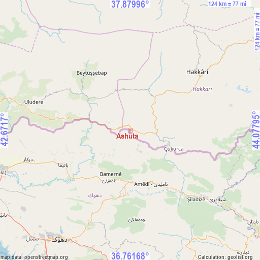
Ashuta GPS coordinates[2]
37° 19' 22.44" North, 43° 22' 29.352" East
| Map corner | latitude | longitude |
|---|---|---|
| Upper-left | 37.87996°, | 42.6717° |
| Center: | 37.3229°, | 43.37482° |
| Lower-right: | 36.76168°, | 44.07795° |
| Map W x H: | 124.3×124.3 km | = 77.2×77.2mi |
| max Lat: | 42.02683° ⇑79.7% North |
| Ashuta: | 37.3229° |
| min Lat: | ⇓20.3% South 35.9025° |
| min Long | Ashuta | max Long |
| 25.90902° | 43.37482° | 44.60099° |
| W 98.2%⇐ | ⇒1.8% E |
Elevation
Elevation of Ashuta is 1732 m = 5682 ft, and this is 1014.6 m = 3329 ft above average elevation for this country.
| Max E: |
2682 m = 8799 ft | 4.2% |
| Ashuta | 1732 m 5682 ft | |
| Avg. | 717.4 m = 2354 ft | |
Min E: |
0 m = 0 ft | 95.8% |
See also: Turkey elevation on elevation.city.
Geographical zone
Ashuta is located in North temperate zone (between Tropic of Cancer and the Arctic Circle). Distance of this Northern Tropic circle is 1544 km =959.4 mi to South.| Distance of | km | miles | from Ashuta |
|---|---|---|---|
| North Pole | 5857.1 | 3639.4 | to North |
| Arctic Circle | 3251.3 | 2020.3 | to North |
| Tropic Cancer | 1544 | 959.4 | to South |
| Equator | 4149.9 | 2578.6 | to South |


Nearby cities:
15 places around Ashuta: (largest is in red/bold)
• Andaç
10.4 km =6.5 mi,  290°
290°
• Aşağıdere
30.9 km =19.2 mi,  313°
313°
• Başaran
27.6 km =17.1 mi, 308°
• Becuh
34.8 km =21.6 mi,  282°
282°
• Beytüşşebap
32.5 km =20.2 mi,  325°
325°
• Bolağaç
35.6 km =22.1 mi,  303°
303°
• Dağdibi
25.5 km =15.8 mi, 288°
• Geçitli
33.6 km =20.9 mi,  29°
29°
• Karsani
7.2 km =4.5 mi,  104°
104°
• Kelitan
11.9 km =7.4 mi,  37°
37°
• Ortaköy
8 km =5 mi,  273°
273°
• Ortasu
37.2 km =23.1 mi, 277°
• Oymakaya
16.9 km =10.5 mi, 311°
• Yemişli
26.8 km =16.7 mi, 280°
• Çukurca
22.7 km =14.1 mi,  111°
111°
Sources, notices
• [Note1] Compared only with cities in Turkey existing in our database
• [Src1] Map data: © OpenStreetMap contributors (CC-BY-SA)
• [Src2] Other city data from geonames.org with taken over terms of usage.
• [Src3] Geographical zone / Annual Mean Temperature by Robert A. Rohde @ Wikipedia
