Mahmutbey geodata
Mahmutbey (Istanbul) is a seat of a third-order administrative division; located in Turkey in Europe/Istanbul (GMT+3) time zone. In our database, there are 1323 cities with bigger population. Compared to other cities in Turkey, 91.1% of cities are located further ↓South; 85.4% of cities are located further →East and 82.4% of cities have higher elevation than Mahmutbey. Note1


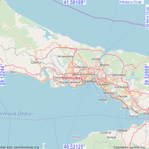
Mahmutbey GPS coordinates[2]
41° 3' 12.996" North, 28° 49' 32.016" East
| Map corner | latitude | longitude |
|---|---|---|
| Upper-left | 41.58169°, | 28.12244° |
| Center: | 41.05361°, | 28.82556° |
| Lower-right: | 40.52125°, | 29.52869° |
| Map W x H: | 117.9×117.9 km | = 73.3×73.3mi |
| max Lat: | 42.02683° ⇑8.9% North |
| Mahmutbey: | 41.05361° |
| min Lat: | ⇓91.1% South 35.9025° |
| min Long | Mahmutbey | max Long |
| 25.90902° | 28.82556° | 44.60099° |
| W 14.6%⇐ | ⇒85.4% E |
Elevation
Elevation of Mahmutbey is 91 m = 299 ft, and this is 626.4 m = 2055 ft below average elevation for this country.
| Max E: |
2682 m = 8799 ft | 82.4% |
| Avg. | 717.4 m = 2354 ft | |
| Mahmutbey | 91 m = 299 ft | |
Min E: |
0 m = 0 ft | 17.6% |
See also: Turkey elevation on elevation.city.
Geographical zone
Mahmutbey is located in North temperate zone (between Tropic of Cancer and the Arctic Circle). Distance of this Northern Tropic circle is 1958.8 km =1217.1 mi to South.| Distance of | km | miles | from Mahmutbey |
|---|---|---|---|
| North Pole | 5442.3 | 3381.7 | to North |
| Arctic Circle | 2836.4 | 1762.5 | to North |
| Tropic Cancer | 1958.8 | 1217.1 | to South |
| Equator | 4564.7 | 2836.4 | to South |


Nearby cities:
15 places around Mahmutbey: (largest is in red/bold)
• Bahçelievler
6.4 km =4 mi,  153°
153°
• Bağcılar
3.1 km =1.9 mi,  121°
121°
• Başakşehir
4.8 km =3 mi,  335°
335°
• Eminönü
13.1 km =8.1 mi,  107°
107°
• Esenler
4.4 km =2.7 mi,  104°
104°
• Esenyurt
12.8 km =8 mi,  256°
256°
• Istanbul
11.3 km =7 mi, 113°
• Kemerburgaz
13.9 km =8.6 mi,  32°
32°
• Merter Keresteciler
6.8 km =4.2 mi,  131°
131°
• Sultangazi
6.9 km =4.3 mi, 31°
• Yakuplu
14.5 km =9 mi,  240°
240°
• Zeytinburnu
9.3 km =5.8 mi, 134°
• güngören merter
7.4 km =4.6 mi, 134°
• Üsküdar
16.1 km =10 mi, 102°
• Şişli
13.6 km =8.5 mi,  86°
86°
Sources, notices
• [Note1] Compared only with cities in Turkey existing in our database
• [Src1] Map data: © OpenStreetMap contributors (CC-BY-SA)
• [Src2] Other city data from geonames.org with taken over terms of usage.
• [Src3] Geographical zone / Annual Mean Temperature by Robert A. Rohde @ Wikipedia
