Karadere geodata
Karadere (Sakarya) is a seat of a third-order administrative division; located in Turkey in Europe/Istanbul (GMT+3) time zone. In our database, there are 1323 cities with bigger population. Compared to other cities in Turkey, 81.8% of cities are located further ↓South; 71.3% of cities are located further →East and 63.5% of cities have higher elevation than Karadere. Note1


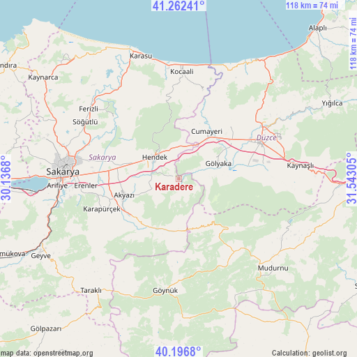
Karadere GPS coordinates[2]
40° 43' 54.264" North, 30° 50' 23.712" East
| Map corner | latitude | longitude |
|---|---|---|
| Upper-left | 41.26241°, | 30.1368° |
| Center: | 40.73174°, | 30.83992° |
| Lower-right: | 40.1968°, | 31.54305° |
| Map W x H: | 118.5×118.5 km | = 73.6×73.6mi |
| max Lat: | 42.02683° ⇑18.2% North |
| Karadere: | 40.73174° |
| min Lat: | ⇓81.8% South 35.9025° |
| min Long | Karadere | max Long |
| 25.90902° | 30.83992° | 44.60099° |
| W 28.7%⇐ | ⇒71.3% E |
Elevation
Elevation of Karadere is 443 m = 1453 ft, and this is 274.4 m = 900 ft below average elevation for this country.
| Max E: |
2682 m = 8799 ft | 63.5% |
| Avg. | 717.4 m = 2354 ft | |
| Karadere | 443 m = 1453 ft | |
Min E: |
0 m = 0 ft | 36.5% |
See also: Turkey elevation on elevation.city.
Geographical zone
Karadere is located in North temperate zone (between Tropic of Cancer and the Arctic Circle). Distance of this Northern Tropic circle is 1923 km =1194.9 mi to South.| Distance of | km | miles | from Karadere |
|---|---|---|---|
| North Pole | 5478.1 | 3403.9 | to North |
| Arctic Circle | 2872.2 | 1784.7 | to North |
| Tropic Cancer | 1923 | 1194.9 | to South |
| Equator | 4528.9 | 2814.1 | to South |


Nearby cities:
15 places around Karadere: (largest is in red/bold)
• Adapazarı
37.2 km =23.1 mi,  278°
278°
• Akyazı
19.1 km =11.9 mi,  254°
254°
• Cumayeri
18.4 km =11.4 mi,  30°
30°
• Dokurcun
17.8 km =11.1 mi,  172°
172°
• Düzce
29.8 km =18.5 mi,  66°
66°
• Gölyaka
14.1 km =8.8 mi, 69°
• Göynük
37.1 km =23.1 mi,  186°
186°
• Gümüşova
15.4 km =9.6 mi, 33°
• Hendek
10.8 km =6.7 mi,  314°
314°
• Karapürçek
27.2 km =16.9 mi, 248°
• Kocaali
35.8 km =22.2 mi,  1°
1°
• Konuralp
32.2 km =20 mi,  53°
53°
• Ortaköy
30.1 km =18.7 mi,  332°
332°
• Söğütlü
36.3 km =22.6 mi,  302°
302°
• Çilimli
25.2 km =15.7 mi,  44°
44°
Sources, notices
• [Note1] Compared only with cities in Turkey existing in our database
• [Src1] Map data: © OpenStreetMap contributors (CC-BY-SA)
• [Src2] Other city data from geonames.org with taken over terms of usage.
• [Src3] Geographical zone / Annual Mean Temperature by Robert A. Rohde @ Wikipedia
