Vyshhorod geodata
Vyshhorod (Kyiv) is a seat of a second-order administrative division; located in Ukraine in Europe/Kiev (GMT+3) time zone. With population of 22,080 people, there are 184 cities with bigger population in this country. Compared to other cities in Ukraine, 91.8% of cities are located further ↓South; 64.5% of cities are located further →East and 58.1% of cities have higher elevation than Vyshhorod. Note1


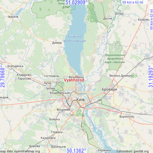
Vyshhorod GPS coordinates[2]
50° 35' 5.136" North, 30° 29' 23.28" East
| Map corner | latitude | longitude |
|---|---|---|
| Upper-left | 51.02909°, | 29.78668° |
| Center: | 50.58476°, | 30.4898° |
| Lower-right: | 50.1362°, | 31.19293° |
| Map W x H: | 99.3×99.3 km | = 61.7×61.7mi |
| max Lat: | 52.18903° ⇑8.2% North |
| Vyshhorod: | 50.58476° |
| min Lat: | ⇓91.8% South 44.39214° |
| min Long | Vyshhorod | max Long |
| 22.20555° | 30.4898° | 40.13222° |
| W 35.5%⇐ | ⇒64.5% E |
Elevation
Elevation of Vyshhorod is 112 m = 367 ft, and this is 43.8 m = 144 ft below average elevation for this country.
| Max E: |
886 m = 2907 ft | 58.1% |
| Avg. | 155.8 m = 511 ft | |
| Vyshhorod | 112 m = 367 ft | |
Min E: |
-3 m = -10 ft | 41.9% |
See also: Ukraine elevation on elevation.city.
Geographical zone
Vyshhorod is located in North temperate zone (between Tropic of Cancer and the Arctic Circle). Distance of this North polar circle is 1776.7 km =1104 mi to North.| Distance of | km | miles | from Vyshhorod |
|---|---|---|---|
| North Pole | 4382.6 | 2723.2 | to North |
| Arctic Circle | 1776.7 | 1104 | to North |
| Tropic Cancer | 3018.6 | 1875.7 | to South |
| Equator | 5624.5 | 3494.9 | to South |


Nearby cities:
15 places around Vyshhorod: (largest is in red/bold)
• Brovary
23.6 km =14.7 mi,  108°
108°
• Bucha
20.2 km =12.6 mi,  256°
256°
• Horenka
11.5 km =7.1 mi,  254°
254°
• Hostomel
16 km =9.9 mi, 263°
• Irpin
18.3 km =11.4 mi, 247°
• Khotyanivka
5.9 km =3.7 mi,  76°
76°
• Kotsyubyns’ke
15.6 km =9.7 mi,  226°
226°
• Kyiv
14.7 km =9.1 mi,  170°
170°
• Liutizh
12.9 km =8 mi,  328°
328°
• Novi Petrivtsi
5.8 km =3.6 mi, 325°
• Pohreby
11.4 km =7.1 mi, 107°
• Pukhivka
16.3 km =10.1 mi, 80°
• Sofiyivska Borschagivka
21.3 km =13.2 mi,  204°
204°
• Vorzel’
24.2 km =15 mi, 259°
• Vyshneve
23.3 km =14.5 mi, 201°
Sources, notices
• [Note1] Compared only with cities in Ukraine existing in our database
• [Src1] Map data: © OpenStreetMap contributors (CC-BY-SA)
• [Src2] Other city data from geonames.org with taken over terms of usage.
• [Src3] Geographical zone / Annual Mean Temperature by Robert A. Rohde @ Wikipedia
