Velyka Bilozerka geodata
Velyka Bilozerka (Zaporizhia) is a seat of a second-order administrative division; located in Ukraine in Europe/Zaporozhye (GMT+3) time zone. With population of 3,511 people, there are 831 cities with bigger population in this country. Compared to other cities in Ukraine, 62.1% of cities are located further ↑North; 76.3% of cities are located further ←West and 80% of cities have higher elevation than Velyka Bilozerka. Note1


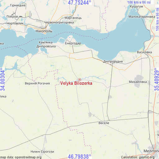
Velyka Bilozerka GPS coordinates[2]
47° 16' 39.216" North, 34° 42' 22.176" East
| Map corner | latitude | longitude |
|---|---|---|
| Upper-left | 47.75244°, | 34.00304° |
| Center: | 47.27756°, | 34.70616° |
| Lower-right: | 46.79838°, | 35.40929° |
| Map W x H: | 106.1×106.1 km | = 65.9×65.9mi |
| max Lat: | 52.18903° ⇑62.1% North |
| Velyka Bilozerka: | 47.27756° |
| min Lat: | ⇓37.9% South 44.39214° |
| min Long | Velyka Bilozerk | max Long |
| 22.20555° | 34.70616° | 40.13222° |
| W 76.3%⇐ | ⇒23.7% E |
Elevation
Elevation of Velyka Bilozerka is 42 m = 138 ft, and this is 113.8 m = 373 ft below average elevation for this country.
| Max E: |
886 m = 2907 ft | 80% |
| Avg. | 155.8 m = 511 ft | |
| Velyka Bilozerka | 42 m = 138 ft | |
Min E: |
-3 m = -10 ft | 20% |
See also: Ukraine elevation on elevation.city.
Geographical zone
Velyka Bilozerka is located in North temperate zone (between Tropic of Cancer and the Arctic Circle). Distance of this North polar circle is 2144.4 km =1332.5 mi to North.| Distance of | km | miles | from Velyka Bilozerka |
|---|---|---|---|
| North Pole | 4750.3 | 2951.7 | to North |
| Arctic Circle | 2144.4 | 1332.5 | to North |
| Tropic Cancer | 2650.9 | 1647.2 | to South |
| Equator | 5256.8 | 3266.4 | to South |


Nearby cities:
15 places around Velyka Bilozerka: (largest is in red/bold)
• Balky
21.4 km =13.3 mi,  56°
56°
• Dniprorudne
23.4 km =14.5 mi, 60°
• Dniprovka
18.1 km =11.2 mi,  338°
338°
• Energodar
24.9 km =15.5 mi,  351°
351°
• Kamenka-Na-Dnepre
32 km =19.9 mi,  316°
316°
• Mala Bilozerka
17.6 km =10.9 mi,  101°
101°
• Marhanets’
40.2 km =25 mi, 351°
• Matviyivka
40.1 km =24.9 mi,  124°
124°
• Mykhaylivka
38.9 km =24.2 mi,  90°
90°
• Nikopol
40.1 km =24.9 mi, 324°
• Tymoshivka
32.7 km =20.3 mi,  108°
108°
• Verkhniy Rohachyk
27.9 km =17.3 mi,  263°
263°
• Vesele
33.2 km =20.6 mi,  151°
151°
• Vodyane
28.4 km =17.6 mi,  325°
325°
• Vyshchetarasivka
34.9 km =21.7 mi,  22°
22°
Sources, notices
• [Note1] Compared only with cities in Ukraine existing in our database
• [Src1] Map data: © OpenStreetMap contributors (CC-BY-SA)
• [Src2] Other city data from geonames.org with taken over terms of usage.
• [Src3] Geographical zone / Annual Mean Temperature by Robert A. Rohde @ Wikipedia
