Marhanets’ geodata
Marhanets’ (Dnipropetrovsk) is a seat of a second-order administrative division; located in Ukraine in Europe/Kiev (GMT+3) time zone. With population of 50,443 people, there are 95 cities with bigger population in this country. Compared to other cities in Ukraine, 59.8% of cities are located further ↑North; 75.2% of cities are located further ←West and 70% of cities have higher elevation than Marhanets’. Note1


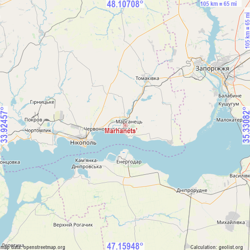
Marhanets’ GPS coordinates[2]
47° 38' 7.548" North, 34° 37' 39.684" East
| Map corner | latitude | longitude |
|---|---|---|
| Upper-left | 48.10708°, | 33.92457° |
| Center: | 47.63543°, | 34.62769° |
| Lower-right: | 47.15948°, | 35.33082° |
| Map W x H: | 105.4×105.4 km | = 65.5×65.5mi |
| max Lat: | 52.18903° ⇑59.8% North |
| Marhanets’: | 47.63543° |
| min Lat: | ⇓40.2% South 44.39214° |
| min Long | Marhanets’ | max Long |
| 22.20555° | 34.62769° | 40.13222° |
| W 75.2%⇐ | ⇒24.8% E |
Elevation
Elevation of Marhanets’ is 75 m = 246 ft, and this is 80.8 m = 265 ft below average elevation for this country.
| Max E: |
886 m = 2907 ft | 70% |
| Avg. | 155.8 m = 511 ft | |
| Marhanets’ | 75 m = 246 ft | |
Min E: |
-3 m = -10 ft | 30% |
See also: Marhanets’ elevation on elevation.city.
Geographical zone
Marhanets’ is located in North temperate zone (between Tropic of Cancer and the Arctic Circle). Distance of this North polar circle is 2104.6 km =1307.7 mi to North.| Distance of | km | miles | from Marhanets’ |
|---|---|---|---|
| North Pole | 4710.5 | 2927 | to North |
| Arctic Circle | 2104.6 | 1307.7 | to North |
| Tropic Cancer | 2690.6 | 1671.9 | to South |
| Equator | 5296.6 | 3291.2 | to South |


Nearby cities:
15 places around Marhanets’: (largest is in red/bold)
• Balky
36.7 km =22.8 mi,  139°
139°
• Chervonohryhorivka
6.8 km =4.2 mi,  258°
258°
• Chortomlyk
36.4 km =22.6 mi,  267°
267°
• Dniprorudne
38.5 km =23.9 mi, 137°
• Dniprovka
22.9 km =14.2 mi,  181°
181°
• Energodar
15.4 km =9.6 mi,  171°
171°
• Kamenka-Na-Dnepre
23.3 km =14.5 mi,  224°
224°
• Kushuhum
44.4 km =27.6 mi,  78°
78°
• Nikopol
18.8 km =11.7 mi,  247°
247°
• Ordzhonikidze
42.7 km =26.5 mi, 274°
• Tomakivka
21.8 km =13.5 mi,  22°
22°
• Velyka Bilozerka
40.2 km =25 mi, 171°
• Vil’ne
13.9 km =8.6 mi,  89°
89°
• Vodyane
19.3 km =12 mi,  211°
211°
• Vyshchetarasivka
20.4 km =12.7 mi,  111°
111°
Sources, notices
• [Note1] Compared only with cities in Ukraine existing in our database
• [Src1] Map data: © OpenStreetMap contributors (CC-BY-SA)
• [Src2] Other city data from geonames.org with taken over terms of usage.
• [Src3] Geographical zone / Annual Mean Temperature by Robert A. Rohde @ Wikipedia
