Chornomors’k geodata
Chornomors’k (Odesa) is a seat of a second-order administrative division; located in Ukraine in Europe/Kiev (GMT+3) time zone. With population of 54,102 people, there are 86 cities with bigger population in this country. Compared to other cities in Ukraine, 68% of cities are located further ↑North; 63.7% of cities are located further →East and 86.4% of cities have higher elevation than Chornomors’k. Note1


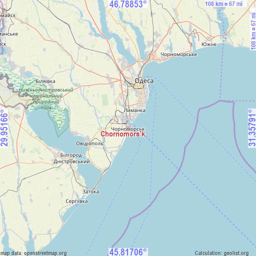
Chornomors’k GPS coordinates[2]
46° 18' 17.82" North, 30° 39' 17.208" East
| Map corner | latitude | longitude |
|---|---|---|
| Upper-left | 46.78853°, | 29.95166° |
| Center: | 46.30495°, | 30.65478° |
| Lower-right: | 45.81706°, | 31.35791° |
| Map W x H: | 108×108 km | = 67.1×67.1mi |
| max Lat: | 52.18903° ⇑68% North |
| Chornomors’k: | 46.30495° |
| min Lat: | ⇓32% South 44.39214° |
| min Long | Chornomors’k | max Long |
| 22.20555° | 30.65478° | 40.13222° |
| W 36.3%⇐ | ⇒63.7% E |
Elevation
Elevation of Chornomors’k is 26 m = 85 ft, and this is 129.8 m = 426 ft below average elevation for this country.
| Max E: |
886 m = 2907 ft | 86.4% |
| Avg. | 155.8 m = 511 ft | |
| Chornomors’k | 26 m = 85 ft | |
Min E: |
-3 m = -10 ft | 13.6% |
See also: Chornomors’k elevation on elevation.city.
Geographical zone
Chornomors’k is located in North temperate zone (between Tropic of Cancer and the Arctic Circle). Distance of this North polar circle is 2252.5 km =1399.6 mi to North.| Distance of | km | miles | from Chornomors’k |
|---|---|---|---|
| North Pole | 4858.4 | 3018.9 | to North |
| Arctic Circle | 2252.5 | 1399.6 | to North |
| Tropic Cancer | 2542.7 | 1580 | to South |
| Equator | 5148.6 | 3199.2 | to South |


Nearby cities:
15 places around Chornomors’k: (largest is in red/bold)
• Bilhorod-Dnistrovskyi
26.5 km =16.5 mi,  242°
242°
• Fontanka
33 km =20.5 mi,  28°
28°
• Karolino-Buhaz
20.4 km =12.7 mi,  209°
209°
• Krasnosilka
36.5 km =22.7 mi,  14°
14°
• Kryzhanivka
30.5 km =19 mi,  20°
20°
• Mayaky
31.8 km =19.8 mi,  293°
293°
• Odessa
20.1 km =12.5 mi, 17°
• Oleksandrivka
3.1 km =1.9 mi,  330°
330°
• Ovidiopol
17.5 km =10.9 mi,  249°
249°
• Salhany
29.4 km =18.3 mi,  233°
233°
• Shabo
28.2 km =17.5 mi, 227°
• Tayirove
6.5 km =4 mi,  356°
356°
• Teplodar
33.7 km =20.9 mi,  311°
311°
• Usatove
25.4 km =15.8 mi,  0°
0°
• Zatoka
29.7 km =18.5 mi, 209°
Sources, notices
• [Note1] Compared only with cities in Ukraine existing in our database
• [Src1] Map data: © OpenStreetMap contributors (CC-BY-SA)
• [Src2] Other city data from geonames.org with taken over terms of usage.
• [Src3] Geographical zone / Annual Mean Temperature by Robert A. Rohde @ Wikipedia
