Bolhrad geodata
Bolhrad (Odesa) is a seat of a second-order administrative division; located in Ukraine in Europe/Kiev (GMT+3) time zone. With population of 15,274 people, there are 251 cities with bigger population in this country. Compared to other cities in Ukraine, 73.9% of cities are located further ↑North; 74.3% of cities are located further →East and 71.8% of cities have higher elevation than Bolhrad. Note1


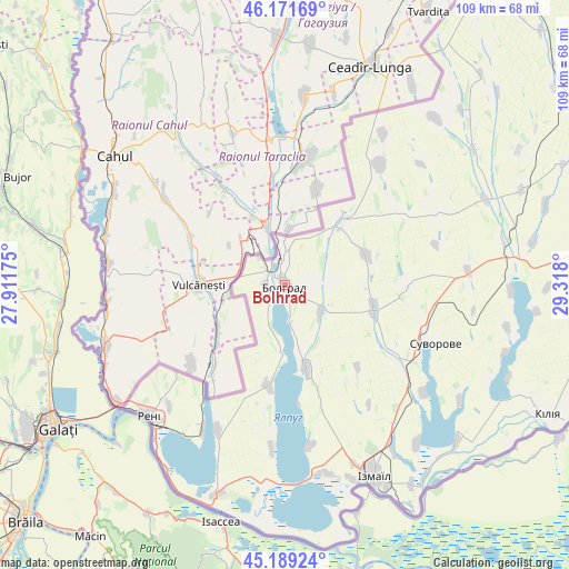
Bolhrad GPS coordinates[2]
45° 40' 57.432" North, 28° 36' 53.532" East
| Map corner | latitude | longitude |
|---|---|---|
| Upper-left | 46.17169°, | 27.91175° |
| Center: | 45.68262°, | 28.61487° |
| Lower-right: | 45.18924°, | 29.318° |
| Map W x H: | 109.2×109.2 km | = 67.9×67.9mi |
| max Lat: | 52.18903° ⇑73.9% North |
| Bolhrad: | 45.68262° |
| min Lat: | ⇓26.1% South 44.39214° |
| min Long | Bolhrad | max Long |
| 22.20555° | 28.61487° | 40.13222° |
| W 25.7%⇐ | ⇒74.3% E |
Elevation
Elevation of Bolhrad is 70 m = 230 ft, and this is 85.8 m = 281 ft below average elevation for this country.
| Max E: |
886 m = 2907 ft | 71.8% |
| Avg. | 155.8 m = 511 ft | |
| Bolhrad | 70 m = 230 ft | |
Min E: |
-3 m = -10 ft | 28.2% |
See also: Ukraine elevation on elevation.city.
Geographical zone
Bolhrad is located in North temperate zone (between Tropic of Cancer and the Arctic Circle). Distance of this North polar circle is 2321.7 km =1442.6 mi to North.| Distance of | km | miles | from Bolhrad |
|---|---|---|---|
| North Pole | 4927.6 | 3061.9 | to North |
| Arctic Circle | 2321.7 | 1442.6 | to North |
| Tropic Cancer | 2473.5 | 1537 | to South |
| Equator | 5079.4 | 3156.2 | to South |


Nearby cities:
15 places around Bolhrad: (largest is in red/bold)
• Artsyz
71.1 km =44.2 mi,  61°
61°
• Broska
36.8 km =22.9 mi,  159°
159°
• Dmytrivka
43.1 km =26.8 mi,  41°
41°
• Horodnye
29.4 km =18.3 mi, 38°
• Izmayil
41 km =25.5 mi,  154°
154°
• Kalcheva
16.6 km =10.3 mi,  68°
68°
• Kiliya
56.5 km =35.1 mi,  116°
116°
• Novi Troyany
34.4 km =21.4 mi,  32°
32°
• Ozerne
31.4 km =19.5 mi,  171°
171°
• Reni
36.3 km =22.6 mi,  226°
226°
• Serpneve
75.5 km =46.9 mi,  24°
24°
• Shevchenkove
57.6 km =35.8 mi,  104°
104°
• Tarutyne
69.7 km =43.3 mi, 36°
• Vynohradivka
3.4 km =2.1 mi,  267°
267°
• Zaliznychne
7.4 km =4.6 mi,  359°
359°
Sources, notices
• [Note1] Compared only with cities in Ukraine existing in our database
• [Src1] Map data: © OpenStreetMap contributors (CC-BY-SA)
• [Src2] Other city data from geonames.org with taken over terms of usage.
• [Src3] Geographical zone / Annual Mean Temperature by Robert A. Rohde @ Wikipedia
