Izmayil geodata
Izmayil (Odesa) is a seat of a second-order administrative division; located in Ukraine in Europe/Kiev (GMT+3) time zone. With population of 82,485 people, there are 56 cities with bigger population in this country. Compared to other cities in Ukraine, 81.4% of cities are located further ↑North; 73.3% of cities are located further →East and 85.9% of cities have higher elevation than Izmayil. Note1


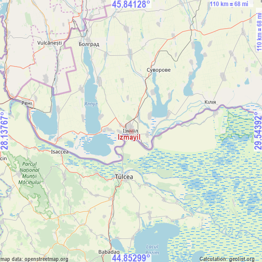
Izmayil GPS coordinates[2]
45° 20' 57.444" North, 28° 50' 26.844" East
| Map corner | latitude | longitude |
|---|---|---|
| Upper-left | 45.84128°, | 28.13767° |
| Center: | 45.34929°, | 28.84079° |
| Lower-right: | 44.85299°, | 29.54392° |
| Map W x H: | 109.9×109.9 km | = 68.3×68.3mi |
| max Lat: | 52.18903° ⇑81.4% North |
| Izmayil: | 45.34929° |
| min Lat: | ⇓18.6% South 44.39214° |
| min Long | Izmayil | max Long |
| 22.20555° | 28.84079° | 40.13222° |
| W 26.7%⇐ | ⇒73.3% E |
Elevation
Elevation of Izmayil is 27 m = 89 ft, and this is 128.8 m = 423 ft below average elevation for this country.
| Max E: |
886 m = 2907 ft | 85.9% |
| Avg. | 155.8 m = 511 ft | |
| Izmayil | 27 m = 89 ft | |
Min E: |
-3 m = -10 ft | 14.1% |
See also: Izmayil elevation on elevation.city.
Geographical zone
Izmayil is located in North temperate zone (between Tropic of Cancer and the Arctic Circle). Distance of this North polar circle is 2358.8 km =1465.7 mi to North.| Distance of | km | miles | from Izmayil |
|---|---|---|---|
| North Pole | 4964.7 | 3084.9 | to North |
| Arctic Circle | 2358.8 | 1465.7 | to North |
| Tropic Cancer | 2436.4 | 1513.9 | to South |
| Equator | 5042.4 | 3133.2 | to South |


Nearby cities:
15 places around Izmayil: (largest is in red/bold)
• Artsyz
84.4 km =52.4 mi,  32°
32°
• Bolhrad
41 km =25.5 mi,  334°
334°
• Broska
5.2 km =3.2 mi,  300°
300°
• Dmytrivka
70.1 km =43.6 mi,  9°
9°
• Horodnye
60.2 km =37.4 mi,  0°
0°
• Kalcheva
43.2 km =26.8 mi,  357°
357°
• Kiliya
35.1 km =21.8 mi,  70°
70°
• Novi Troyany
66 km =41 mi, 1°
• Ozerne
14.2 km =8.8 mi,  294°
294°
• Reni
45.4 km =28.2 mi, 285°
• Shevchenkove
44.8 km =27.8 mi,  59°
59°
• Tatarbunary
81 km =50.3 mi,  47°
47°
• Vylkove
58.5 km =36.4 mi,  84°
84°
• Vynohradivka
42.5 km =26.4 mi, 330°
• Zaliznychne
47.8 km =29.7 mi,  338°
338°
Sources, notices
• [Note1] Compared only with cities in Ukraine existing in our database
• [Src1] Map data: © OpenStreetMap contributors (CC-BY-SA)
• [Src2] Other city data from geonames.org with taken over terms of usage.
• [Src3] Geographical zone / Annual Mean Temperature by Robert A. Rohde @ Wikipedia
