Brinkley geodata
Brinkley (Arkansas) is a populated place; located in United States in America/Chicago (GMT-5) time zone. With population of 2,890 people, there are 9824 cities with bigger population in this country. Compared to other cities in United States, 76% of cities are located further ↑North; 62.5% of cities are located further →East and 76.9% of cities have higher elevation than Brinkley. Note1


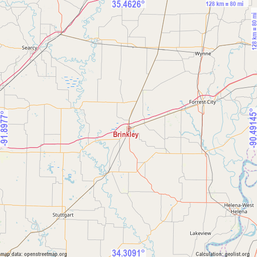
Brinkley GPS coordinates[2]
34° 53' 16.332" North, 91° 11' 40.452" West
| Map corner | latitude | longitude |
|---|---|---|
| Upper-left | 35.4626°, | -91.8977° |
| Center: | 34.88787°, | -91.19457° |
| Lower-right: | 34.3091°, | -90.49145° |
| Map W x H: | 128.3×128.3 km | = 79.7×79.7mi |
| max Lat: | 71.29058° ⇑76% North |
| Brinkley: | 34.88787° |
| min Lat: | ⇓24% South 19.06759° |
| min Long | Brinkley | max Long |
| -171.73463° | -91.19457° | -66.98998° |
| W 37.5%⇐ | ⇒62.5% E |
Elevation
Elevation of Brinkley is 61 m = 200 ft, and this is 233.8 m = 767 ft below average elevation for this country.
| Max E: |
3189 m = 10463 ft | 76.9% |
| Avg. | 294.8 m = 967 ft | |
| Brinkley | 61 m = 200 ft | |
Min E: |
-60 m = -197 ft | 23.1% |
See also: United States elevation on elevation.city.
Geographical zone
Brinkley is located in North temperate zone (between Tropic of Cancer and the Arctic Circle). Distance of this Northern Tropic circle is 1273.2 km =791.1 mi to South.| Distance of | km | miles | from Brinkley |
|---|---|---|---|
| North Pole | 6127.9 | 3807.7 | to North |
| Arctic Circle | 3522 | 2188.5 | to North |
| Tropic Cancer | 1273.2 | 791.1 | to South |
| Equator | 3879.2 | 2410.4 | to South |


Nearby cities:
15 places around Brinkley: (largest is in red/bold)
• Augusta
46.5 km =28.9 mi,  340°
340°
• Carlisle
51.7 km =32.1 mi,  256°
256°
• Clarendon
24.2 km =15 mi,  206°
206°
• Cotton Plant
14.3 km =8.9 mi, 338°
• De Valls Bluff
26.7 km =16.6 mi,  244°
244°
• Des Arc
29.1 km =18.1 mi,  289°
289°
• Forrest City
39.2 km =24.4 mi,  70°
70°
• Hazen
37.2 km =23.1 mi,  251°
251°
• Holly Grove
32.5 km =20.2 mi,  180°
180°
• Madison
45.2 km =28.1 mi, 72°
• Marianna
41.9 km =26 mi,  107°
107°
• Marvell
45 km =28 mi,  145°
145°
• McCrory
41 km =25.5 mi,  359°
359°
• Palestine
28.2 km =17.5 mi, 70°
• Wynne
52.7 km =32.7 mi,  44°
44°
Sources, notices
• [Note1] Compared only with cities in United States existing in our database
• [Src1] Map data: © OpenStreetMap contributors (CC-BY-SA)
• [Src2] Other city data from geonames.org with taken over terms of usage.
• [Src3] Geographical zone / Annual Mean Temperature by Robert A. Rohde @ Wikipedia
