Jonesboro geodata
Jonesboro (Arkansas) is a populated place; located in United States in America/Chicago (GMT-5) time zone. With population of 73,907 people, there are 556 cities with bigger population in this country. Compared to other cities in United States, 71.1% of cities are located further ↑North; 61.4% of cities are located further →East and 70.8% of cities have higher elevation than Jonesboro. Note1
Administrative division(s):
- Level 1: Arkansas
- Level 2: Craighead County
- Level 3: Township of Jonesboro


Jonesboro GPS coordinates[2]
35° 50' 32.28" North, 90° 42' 15.408" West
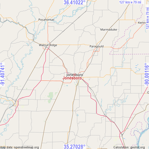
| Map corner | latitude | longitude |
|---|---|---|
| Upper-left | 36.41022°, | -91.40741° |
| Center: | 35.8423°, | -90.70428° |
| Lower-right: | 35.27028°, | -90.00116° |
| Map W x H: | 126.7×126.7 km | = 78.7×78.7mi |
| max Lat: | 71.29058° ⇑71.1% North |
| Jonesboro: | 35.8423° |
| min Lat: | ⇓28.9% South 19.06759° |
| min Long | Jonesboro | max Long |
| -171.73463° | -90.70428° | -66.98998° |
| W 38.6%⇐ | ⇒61.4% E |
Elevation
Elevation of Jonesboro is 96 m = 315 ft, and this is 198.8 m = 652 ft below average elevation for this country.
| Max E: |
3189 m = 10463 ft | 70.8% |
| Avg. | 294.8 m = 967 ft | |
| Jonesboro | 96 m = 315 ft | |
Min E: |
-60 m = -197 ft | 29.2% |
See also: Jonesboro elevation on elevation.city.
Geographical zone
Jonesboro is located in North temperate zone (between Tropic of Cancer and the Arctic Circle). Distance of this Northern Tropic circle is 1379.4 km =857.1 mi to South.| Distance of | km | miles | from Jonesboro |
|---|---|---|---|
| North Pole | 6021.8 | 3741.8 | to North |
| Arctic Circle | 3415.9 | 2122.5 | to North |
| Tropic Cancer | 1379.4 | 857.1 | to South |
| Equator | 3985.3 | 2476.3 | to South |


Nearby cities:
15 places around Jonesboro: (largest is in red/bold)
• Bay
17 km =10.6 mi,  130°
130°
• Bono
11.5 km =7.1 mi,  309°
309°
• Brookland
12.7 km =7.9 mi,  59°
59°
• Caraway
35.7 km =22.2 mi,  105°
105°
• College City
37.9 km =23.5 mi,  326°
326°
• Harrisburg
30.9 km =19.2 mi,  182°
182°
• Hoxie
33.6 km =20.9 mi, 313°
• Lake City
24.5 km =15.2 mi,  96°
96°
• Monette
32.9 km =20.4 mi,  80°
80°
• Oak Grove Heights
35.5 km =22.1 mi,  29°
29°
• Paragould
30.4 km =18.9 mi,  37°
37°
• Swifton
38.3 km =23.8 mi,  266°
266°
• Trumann
25.8 km =16 mi,  136°
136°
• Walnut Ridge
33.8 km =21 mi,  317°
317°
• Weiner
30.3 km =18.8 mi,  215°
215°
Sources, notices
• [Note1] Compared only with cities in United States existing in our database
• [Src1] Map data: © OpenStreetMap contributors (CC-BY-SA)
• [Src2] Other city data from geonames.org with taken over terms of usage.
• [Src3] Geographical zone / Annual Mean Temperature by Robert A. Rohde @ Wikipedia
