Indian Springs geodata
Indian Springs (Georgia) is a populated place; located in United States in America/New_York (GMT-4) time zone. With population of 2,413 people, there are 10814 cities with bigger population in this country. Compared to other cities in United States, 84.2% of cities are located further ↑North; 59.5% of cities are located further ←West and 57.5% of cities have higher elevation than Indian Springs. Note1


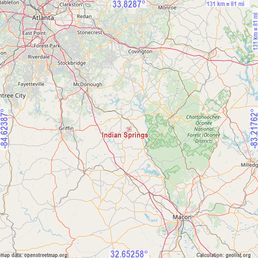
Indian Springs GPS coordinates[2]
33° 14' 33.432" North, 83° 55' 14.664" West
| Map corner | latitude | longitude |
|---|---|---|
| Upper-left | 33.8287°, | -84.62387° |
| Center: | 33.24262°, | -83.92074° |
| Lower-right: | 32.65258°, | -83.21762° |
| Map W x H: | 130.8×130.8 km | = 81.3×81.3mi |
| max Lat: | 71.29058° ⇑84.2% North |
| Indian Springs: | 33.24262° |
| min Lat: | ⇓15.8% South 19.06759° |
| min Long | Indian Springs | max Long |
| -171.73463° | -83.92074° | -66.98998° |
| W 59.5%⇐ | ⇒40.5% E |
Elevation
Elevation of Indian Springs is 168 m = 551 ft, and this is 126.8 m = 416 ft below average elevation for this country.
| Max E: |
3189 m = 10463 ft | 57.5% |
| Avg. | 294.8 m = 967 ft | |
| Indian Springs | 168 m = 551 ft | |
Min E: |
-60 m = -197 ft | 42.5% |
See also: United States elevation on elevation.city.
Geographical zone
Indian Springs is located in North temperate zone (between Tropic of Cancer and the Arctic Circle). Distance of this Northern Tropic circle is 1090.3 km =677.5 mi to South.| Distance of | km | miles | from Indian Springs |
|---|---|---|---|
| North Pole | 6310.8 | 3921.3 | to North |
| Arctic Circle | 3704.9 | 2302.1 | to North |
| Tropic Cancer | 1090.3 | 677.5 | to South |
| Equator | 3696.2 | 2296.7 | to South |


Nearby cities:
15 places around Indian Springs: (largest is in red/bold)
• Barnesville
30.3 km =18.8 mi,  226°
226°
• East Griffin
28.6 km =17.8 mi,  270°
270°
• Experiment
33.6 km =20.9 mi, 274°
• Flovilla
2.4 km =1.5 mi,  59°
59°
• Forsyth
23.2 km =14.4 mi,  184°
184°
• Griffin
31.9 km =19.8 mi, 270°
• Hampton
37.3 km =23.2 mi,  295°
295°
• Jackson
7.1 km =4.4 mi,  323°
323°
• Locust Grove
20.9 km =13 mi, 303°
• McDonough
31 km =19.3 mi, 317°
• Milner
29.2 km =18.1 mi,  241°
241°
• Monticello
23.1 km =14.4 mi,  72°
72°
• Newborn
37 km =23 mi,  34°
34°
• Oakwood
34.3 km =21.3 mi,  351°
351°
• Porterdale
37.1 km =23.1 mi,  3°
3°
Sources, notices
• [Note1] Compared only with cities in United States existing in our database
• [Src1] Map data: © OpenStreetMap contributors (CC-BY-SA)
• [Src2] Other city data from geonames.org with taken over terms of usage.
• [Src3] Geographical zone / Annual Mean Temperature by Robert A. Rohde @ Wikipedia
