Forsyth geodata
Forsyth (Georgia) is a seat of a second-order administrative division; located in United States in America/New_York (GMT-4) time zone. With population of 4,013 people, there are 8204 cities with bigger population in this country. Compared to other cities in United States, 85% of cities are located further ↑North; 59.4% of cities are located further ←West and 56.1% of cities have lower elevation than Forsyth. Note1


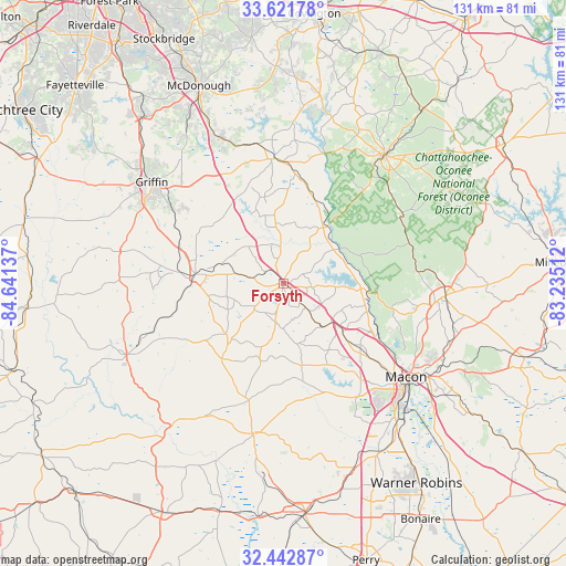
Forsyth GPS coordinates[2]
33° 2' 3.48" North, 83° 56' 17.664" West
| Map corner | latitude | longitude |
|---|---|---|
| Upper-left | 33.62178°, | -84.64137° |
| Center: | 33.0343°, | -83.93824° |
| Lower-right: | 32.44287°, | -83.23512° |
| Map W x H: | 131.1×131.1 km | = 81.5×81.5mi |
| max Lat: | 71.29058° ⇑85% North |
| Forsyth: | 33.0343° |
| min Lat: | ⇓15% South 19.06759° |
| min Long | Forsyth | max Long |
| -171.73463° | -83.93824° | -66.98998° |
| W 59.4%⇐ | ⇒40.6% E |
Elevation
Elevation of Forsyth is 223 m = 732 ft, and this is 71.8 m = 236 ft below average elevation for this country.
| Max E: |
3189 m = 10463 ft | 43.9% |
| Avg. | 294.8 m = 967 ft | |
| Forsyth | 223 m = 732 ft | |
Min E: |
-60 m = -197 ft | 56.1% |
See also: United States elevation on elevation.city.
Geographical zone
Forsyth is located in North temperate zone (between Tropic of Cancer and the Arctic Circle). Distance of this Northern Tropic circle is 1067.2 km =663.1 mi to South.| Distance of | km | miles | from Forsyth |
|---|---|---|---|
| North Pole | 6334 | 3935.8 | to North |
| Arctic Circle | 3728.1 | 2316.5 | to North |
| Tropic Cancer | 1067.2 | 663.1 | to South |
| Equator | 3673.1 | 2282.4 | to South |


Nearby cities:
15 places around Forsyth: (largest is in red/bold)
• Barnesville
20.4 km =12.7 mi,  276°
276°
• East Griffin
35.7 km =22.2 mi,  310°
310°
• Flovilla
24.7 km =15.3 mi,  8°
8°
• Gray
37.8 km =23.5 mi,  94°
94°
• Griffin
38.5 km =23.9 mi, 307°
• Indian Springs
23.2 km =14.4 mi,  4°
4°
• Jackson
29.1 km =18.1 mi,  354°
354°
• Knoxville
34.9 km =21.7 mi,  189°
189°
• Locust Grove
38.1 km =23.7 mi,  335°
335°
• Macon
35.7 km =22.2 mi,  127°
127°
• Milner
25.8 km =16 mi,  290°
290°
• Monticello
38.3 km =23.8 mi,  38°
38°
• Roberta
35.4 km =22 mi, 191°
• West Point
29.4 km =18.3 mi,  155°
155°
• Zebulon
38.4 km =23.9 mi, 281°
Sources, notices
• [Note1] Compared only with cities in United States existing in our database
• [Src1] Map data: © OpenStreetMap contributors (CC-BY-SA)
• [Src2] Other city data from geonames.org with taken over terms of usage.
• [Src3] Geographical zone / Annual Mean Temperature by Robert A. Rohde @ Wikipedia
