Larned geodata
Larned (Kansas) is a seat of a second-order administrative division; located in United States in America/Chicago (GMT-5) time zone. With population of 3,967 people, there are 8256 cities with bigger population in this country. Compared to other cities in United States, 60.7% of cities are located further ↑North; 80% of cities are located further →East and 89.9% of cities have lower elevation than Larned. Note1


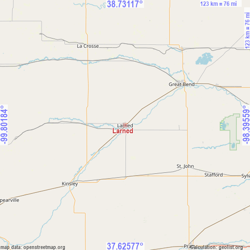
Larned GPS coordinates[2]
38° 10' 50.052" North, 99° 5' 55.356" West
| Map corner | latitude | longitude |
|---|---|---|
| Upper-left | 38.73117°, | -99.80184° |
| Center: | 38.18057°, | -99.09871° |
| Lower-right: | 37.62577°, | -98.39559° |
| Map W x H: | 122.9×122.9 km | = 76.4×76.4mi |
| max Lat: | 71.29058° ⇑60.7% North |
| Larned: | 38.18057° |
| min Lat: | ⇓39.3% South 19.06759° |
| min Long | Larned | max Long |
| -171.73463° | -99.09871° | -66.98998° |
| W 20%⇐ | ⇒80% E |
Elevation
Elevation of Larned is 619 m = 2031 ft, and this is 324.2 m = 1064 ft above average elevation for this country.
| Max E: |
3189 m = 10463 ft | 10.1% |
| Larned | 619 m 2031 ft | |
| Avg. | 294.8 m = 967 ft | |
Min E: |
-60 m = -197 ft | 89.9% |
See also: United States elevation on elevation.city.
Geographical zone
Larned is located in North temperate zone (between Tropic of Cancer and the Arctic Circle). Distance of this Northern Tropic circle is 1639.4 km =1018.7 mi to South.| Distance of | km | miles | from Larned |
|---|---|---|---|
| North Pole | 5761.8 | 3580.2 | to North |
| Arctic Circle | 3155.9 | 1961 | to North |
| Tropic Cancer | 1639.4 | 1018.7 | to South |
| Equator | 4245.3 | 2637.9 | to South |


Nearby cities:
15 places around Larned: (largest is in red/bold)
• Claflin
62.4 km =38.8 mi,  52°
52°
• Ellinwood
49.2 km =30.6 mi,  66°
66°
• Great Bend
35.6 km =22.1 mi, 54°
• Greensburg
66.5 km =41.3 mi,  194°
194°
• Haviland
62.4 km =38.8 mi,  180°
180°
• Hoisington
46.8 km =29.1 mi,  36°
36°
• Jetmore
70.3 km =43.7 mi,  261°
261°
• Kinsley
39.5 km =24.5 mi,  223°
223°
• La Crosse
43.1 km =26.8 mi,  334°
334°
• Macksville
27.1 km =16.8 mi,  155°
155°
• Pratt
67.6 km =42 mi,  152°
152°
• Saint John
35.7 km =22.2 mi,  123°
123°
• Spearville
68.4 km =42.5 mi,  237°
237°
• Stafford
49.9 km =31 mi, 119°
• Victoria
74.9 km =46.5 mi,  356°
356°
Sources, notices
• [Note1] Compared only with cities in United States existing in our database
• [Src1] Map data: © OpenStreetMap contributors (CC-BY-SA)
• [Src2] Other city data from geonames.org with taken over terms of usage.
• [Src3] Geographical zone / Annual Mean Temperature by Robert A. Rohde @ Wikipedia
