Layhill geodata
Layhill (Maryland) is a populated place; located in United States in America/New_York (GMT-4) time zone. With population of 5,169 people, there are 7032 cities with bigger population in this country. Compared to other cities in United States, 54% of cities are located further ↑North; 80.4% of cities are located further ←West and 64% of cities have higher elevation than Layhill. Note1


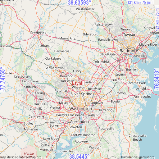
Layhill GPS coordinates[2]
39° 5' 32.388" North, 77° 2' 39.912" West
| Map corner | latitude | longitude |
|---|---|---|
| Upper-left | 39.63593°, | -77.74755° |
| Center: | 39.09233°, | -77.04442° |
| Lower-right: | 38.5445°, | -76.3413° |
| Map W x H: | 121.4×121.4 km | = 75.4×75.4mi |
| max Lat: | 71.29058° ⇑54% North |
| Layhill: | 39.09233° |
| min Lat: | ⇓46% South 19.06759° |
| min Long | Layhill | max Long |
| -171.73463° | -77.04442° | -66.98998° |
| W 80.4%⇐ | ⇒19.6% E |
Elevation
Elevation of Layhill is 133 m = 436 ft, and this is 161.8 m = 531 ft below average elevation for this country.
| Max E: |
3189 m = 10463 ft | 64% |
| Avg. | 294.8 m = 967 ft | |
| Layhill | 133 m = 436 ft | |
Min E: |
-60 m = -197 ft | 36% |
See also: United States elevation on elevation.city.
Geographical zone
Layhill is located in North temperate zone (between Tropic of Cancer and the Arctic Circle). Distance of this Northern Tropic circle is 1740.7 km =1081.6 mi to South.| Distance of | km | miles | from Layhill |
|---|---|---|---|
| North Pole | 5660.4 | 3517.2 | to North |
| Arctic Circle | 3054.5 | 1898 | to North |
| Tropic Cancer | 1740.7 | 1081.6 | to South |
| Equator | 4346.7 | 2700.9 | to South |


Nearby cities:
15 places around Layhill: (largest is in red/bold)
• Ashton-Sandy Spring
7.2 km =4.5 mi,  28°
28°
• Aspen Hill
2.8 km =1.7 mi,  240°
240°
• Cloverly
4.4 km =2.7 mi,  66°
66°
• Colesville
4.1 km =2.5 mi,  116°
116°
• Fairland
7.7 km =4.8 mi,  103°
103°
• Garrett Park
7.3 km =4.5 mi,  214°
214°
• Glenmont
3.9 km =2.4 mi,  186°
186°
• Kemp Mill
6.3 km =3.9 mi,  159°
159°
• Leisure World
2.4 km =1.5 mi,  297°
297°
• North Kensington
7.3 km =4.5 mi,  199°
199°
• Olney
7 km =4.3 mi,  343°
343°
• Rossmoor
2.6 km =1.6 mi, 298°
• Spencerville
6.2 km =3.9 mi, 66°
• Wheaton
5.9 km =3.7 mi, 189°
• White Oak
7.3 km =4.5 mi,  142°
142°
Sources, notices
• [Note1] Compared only with cities in United States existing in our database
• [Src1] Map data: © OpenStreetMap contributors (CC-BY-SA)
• [Src2] Other city data from geonames.org with taken over terms of usage.
• [Src3] Geographical zone / Annual Mean Temperature by Robert A. Rohde @ Wikipedia
