Grenada geodata
Grenada (Mississippi) is a seat of a second-order administrative division; located in United States in America/Chicago (GMT-5) time zone. With population of 12,900 people, there are 3702 cities with bigger population in this country. Compared to other cities in United States, 81.7% of cities are located further ↑North; 58.5% of cities are located further →East and 75.8% of cities have higher elevation than Grenada. Note1


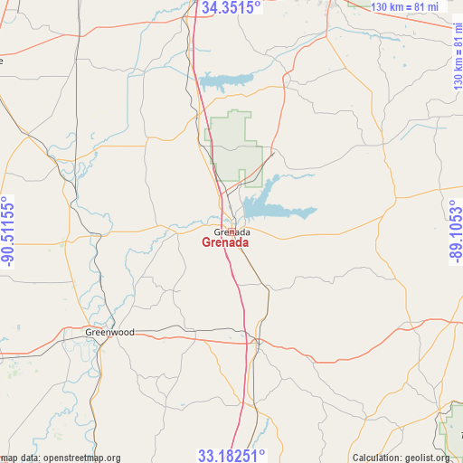
Grenada GPS coordinates[2]
33° 46' 8.4" North, 89° 48' 30.312" West
| Map corner | latitude | longitude |
|---|---|---|
| Upper-left | 34.3515°, | -90.51155° |
| Center: | 33.769°, | -89.80842° |
| Lower-right: | 33.18251°, | -89.1053° |
| Map W x H: | 130×130 km | = 80.8×80.8mi |
| max Lat: | 71.29058° ⇑81.7% North |
| Grenada: | 33.769° |
| min Lat: | ⇓18.3% South 19.06759° |
| min Long | Grenada | max Long |
| -171.73463° | -89.80842° | -66.98998° |
| W 41.5%⇐ | ⇒58.5% E |
Elevation
Elevation of Grenada is 67 m = 220 ft, and this is 227.8 m = 747 ft below average elevation for this country.
| Max E: |
3189 m = 10463 ft | 75.8% |
| Avg. | 294.8 m = 967 ft | |
| Grenada | 67 m = 220 ft | |
Min E: |
-60 m = -197 ft | 24.2% |
See also: United States elevation on elevation.city.
Geographical zone
Grenada is located in North temperate zone (between Tropic of Cancer and the Arctic Circle). Distance of this Northern Tropic circle is 1148.8 km =713.8 mi to South.| Distance of | km | miles | from Grenada |
|---|---|---|---|
| North Pole | 6252.3 | 3885 | to North |
| Arctic Circle | 3646.4 | 2265.8 | to North |
| Tropic Cancer | 1148.8 | 713.8 | to South |
| Equator | 3754.8 | 2333.1 | to South |


Nearby cities:
15 places around Grenada: (largest is in red/bold)
• Calhoun City
46.9 km =29.1 mi,  78°
78°
• Carrollton
30.8 km =19.1 mi,  199°
199°
• Charleston
35 km =21.7 mi,  319°
319°
• Coffeeville
26.2 km =16.3 mi,  27°
27°
• Duck Hill
17.6 km =10.9 mi,  149°
149°
• Elliott
11 km =6.8 mi, 150°
• Greenwood
44.4 km =27.6 mi,  230°
230°
• Holcomb
15.5 km =9.6 mi,  266°
266°
• Kilmichael
42.3 km =26.3 mi, 148°
• Mikoma
48.3 km =30 mi,  294°
294°
• Oakland
33.4 km =20.8 mi,  342°
342°
• Pittsboro
47.5 km =29.5 mi,  66°
66°
• Vaiden
49 km =30.4 mi,  172°
172°
• Water Valley
45.6 km =28.3 mi,  20°
20°
• Winona
32.8 km =20.4 mi, 166°
Sources, notices
• [Note1] Compared only with cities in United States existing in our database
• [Src1] Map data: © OpenStreetMap contributors (CC-BY-SA)
• [Src2] Other city data from geonames.org with taken over terms of usage.
• [Src3] Geographical zone / Annual Mean Temperature by Robert A. Rohde @ Wikipedia
