Sledge geodata
Sledge (Mississippi) is a populated place; located in United States in America/Chicago (GMT-5) time zone. With population of 519 people, there are 20641 cities with bigger population in this country. Compared to other cities in United States, 78% of cities are located further ↑North; 59.7% of cities are located further →East and 78.4% of cities have higher elevation than Sledge. Note1


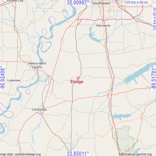
Sledge GPS coordinates[2]
34° 25' 55.38" North, 90° 13' 15.348" West
| Map corner | latitude | longitude |
|---|---|---|
| Upper-left | 35.00997°, | -90.92406° |
| Center: | 34.43205°, | -90.22093° |
| Lower-right: | 33.85011°, | -89.51781° |
| Map W x H: | 129×129 km | = 80.2×80.2mi |
| max Lat: | 71.29058° ⇑78% North |
| Sledge: | 34.43205° |
| min Lat: | ⇓22% South 19.06759° |
| min Long | Sledge | max Long |
| -171.73463° | -90.22093° | -66.98998° |
| W 40.3%⇐ | ⇒59.7% E |
Elevation
Elevation of Sledge is 54 m = 177 ft, and this is 240.8 m = 790 ft below average elevation for this country.
| Max E: |
3189 m = 10463 ft | 78.4% |
| Avg. | 294.8 m = 967 ft | |
| Sledge | 54 m = 177 ft | |
Min E: |
-60 m = -197 ft | 21.6% |
See also: United States elevation on elevation.city.
Geographical zone
Sledge is located in North temperate zone (between Tropic of Cancer and the Arctic Circle). Distance of this Northern Tropic circle is 1222.6 km =759.7 mi to South.| Distance of | km | miles | from Sledge |
|---|---|---|---|
| North Pole | 6178.6 | 3839.2 | to North |
| Arctic Circle | 3572.7 | 2220 | to North |
| Tropic Cancer | 1222.6 | 759.7 | to South |
| Equator | 3828.5 | 2378.9 | to South |


Nearby cities:
15 places around Sledge: (largest is in red/bold)
• Batesville
28.7 km =17.8 mi,  117°
117°
• Como
27.2 km =16.9 mi,  71°
71°
• Courtland
33.2 km =20.6 mi,  129°
129°
• Crenshaw
8.1 km =5 mi,  14°
14°
• Crowder
29.8 km =18.5 mi,  165°
165°
• Helena-West Helena
35.5 km =22.1 mi,  287°
287°
• Jonestown
24.9 km =15.5 mi,  239°
239°
• Lambert
26.2 km =16.3 mi,  192°
192°
• Marks
20.1 km =12.5 mi, 193°
• North Tunica
33.2 km =20.6 mi,  334°
334°
• Sardis
28 km =17.4 mi,  88°
88°
• Senatobia
31 km =19.3 mi,  48°
48°
• Tunica
31.8 km =19.8 mi, 332°
• Walnut
35.5 km =22.1 mi,  207°
207°
• White Oak
26.7 km =16.6 mi, 332°
Sources, notices
• [Note1] Compared only with cities in United States existing in our database
• [Src1] Map data: © OpenStreetMap contributors (CC-BY-SA)
• [Src2] Other city data from geonames.org with taken over terms of usage.
• [Src3] Geographical zone / Annual Mean Temperature by Robert A. Rohde @ Wikipedia
