Kinston geodata
Kinston (North Carolina) is a seat of a second-order administrative division; located in United States in America/New_York (GMT-4) time zone. With population of 21,337 people, there are 2367 cities with bigger population in this country. Compared to other cities in United States, 73.9% of cities are located further ↑North; 78.7% of cities are located further ←West and 91% of cities have higher elevation than Kinston. Note1
Administrative division(s):
- Level 1: North Carolina
- Level 2: Lenoir County
- Level 3: Township of Kinston


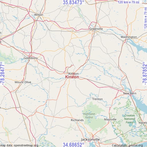
Kinston GPS coordinates[2]
35° 15' 45.576" North, 77° 34' 53.904" West
| Map corner | latitude | longitude |
|---|---|---|
| Upper-left | 35.83473°, | -78.28477° |
| Center: | 35.26266°, | -77.58164° |
| Lower-right: | 34.68652°, | -76.87852° |
| Map W x H: | 127.7×127.7 km | = 79.3×79.3mi |
| max Lat: | 71.29058° ⇑73.9% North |
| Kinston: | 35.26266° |
| min Lat: | ⇓26.1% South 19.06759° |
| min Long | Kinston | max Long |
| -171.73463° | -77.58164° | -66.98998° |
| W 78.7%⇐ | ⇒21.3% E |
Elevation
Elevation of Kinston is 14 m = 46 ft, and this is 280.8 m = 921 ft below average elevation for this country.
| Max E: |
3189 m = 10463 ft | 91% |
| Avg. | 294.8 m = 967 ft | |
| Kinston | 14 m = 46 ft | |
Min E: |
-60 m = -197 ft | 9% |
See also: United States elevation on elevation.city.
Geographical zone
Kinston is located in North temperate zone (between Tropic of Cancer and the Arctic Circle). Distance of this Northern Tropic circle is 1314.9 km =817 mi to South.| Distance of | km | miles | from Kinston |
|---|---|---|---|
| North Pole | 6086.2 | 3781.8 | to North |
| Arctic Circle | 3480.3 | 2162.6 | to North |
| Tropic Cancer | 1314.9 | 817 | to South |
| Equator | 3920.8 | 2436.3 | to South |


Nearby cities:
15 places around Kinston: (largest is in red/bold)
• Ayden
27.8 km =17.3 mi,  32°
32°
• Elroy
31 km =19.3 mi,  286°
286°
• Farmville
37 km =23 mi,  359°
359°
• Goldsboro
39.7 km =24.7 mi, 290°
• Grifton
17.9 km =11.1 mi,  46°
46°
• La Grange
19.4 km =12.1 mi,  284°
284°
• Maury
24.4 km =15.2 mi, 359°
• Pink Hill
27.5 km =17.1 mi,  212°
212°
• Richlands
40.5 km =25.2 mi,  175°
175°
• Snow Hill
22.9 km =14.2 mi,  336°
336°
• Trenton
30.1 km =18.7 mi,  136°
136°
• Vanceboro
39.1 km =24.3 mi,  82°
82°
• Walnut Creek
26.2 km =16.3 mi, 280°
• Windsor
38 km =23.6 mi, 31°
• Winterville
33.8 km =21 mi, 28°
Sources, notices
• [Note1] Compared only with cities in United States existing in our database
• [Src1] Map data: © OpenStreetMap contributors (CC-BY-SA)
• [Src2] Other city data from geonames.org with taken over terms of usage.
• [Src3] Geographical zone / Annual Mean Temperature by Robert A. Rohde @ Wikipedia
