Minford geodata
Minford (Ohio) is a populated place; located in United States in America/New_York (GMT-4) time zone. With population of 693 people, there are 18745 cities with bigger population in this country. Compared to other cities in United States, 56.1% of cities are located further ↑North; 62.4% of cities are located further ←West and 50.7% of cities have lower elevation than Minford. Note1


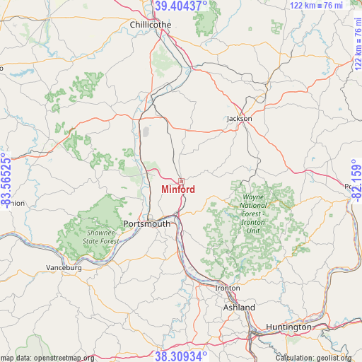
Minford GPS coordinates[2]
38° 51' 32.256" North, 82° 51' 43.632" West
| Map corner | latitude | longitude |
|---|---|---|
| Upper-left | 39.40437°, | -83.56525° |
| Center: | 38.85896°, | -82.86212° |
| Lower-right: | 38.30934°, | -82.159° |
| Map W x H: | 121.8×121.8 km | = 75.7×75.7mi |
| max Lat: | 71.29058° ⇑56.1% North |
| Minford: | 38.85896° |
| min Lat: | ⇓43.9% South 19.06759° |
| min Long | Minford | max Long |
| -171.73463° | -82.86212° | -66.98998° |
| W 62.4%⇐ | ⇒37.6% E |
Elevation
Elevation of Minford is 201 m = 659 ft, and this is 93.8 m = 308 ft below average elevation for this country.
| Max E: |
3189 m = 10463 ft | 49.3% |
| Avg. | 294.8 m = 967 ft | |
| Minford | 201 m = 659 ft | |
Min E: |
-60 m = -197 ft | 50.7% |
See also: United States elevation on elevation.city.
Geographical zone
Minford is located in North temperate zone (between Tropic of Cancer and the Arctic Circle). Distance of this Northern Tropic circle is 1714.8 km =1065.5 mi to South.| Distance of | km | miles | from Minford |
|---|---|---|---|
| North Pole | 5686.4 | 3533.4 | to North |
| Arctic Circle | 3080.5 | 1914.1 | to North |
| Tropic Cancer | 1714.8 | 1065.5 | to South |
| Equator | 4320.7 | 2684.8 | to South |


Nearby cities:
15 places around Minford: (largest is in red/bold)
• Clarktown
4.4 km =2.7 mi,  257°
257°
• Franklin Furnace
23.8 km =14.8 mi,  177°
177°
• Jackson
29 km =18 mi,  42°
42°
• Lucasville
11.9 km =7.4 mi,  281°
281°
• New Boston
13.5 km =8.4 mi,  208°
208°
• Oak Hill
25.3 km =15.7 mi,  81°
81°
• Piketon
26.7 km =16.6 mi,  330°
330°
• Portsmouth
18.4 km =11.4 mi,  219°
219°
• Rosemount
13 km =8.1 mi,  231°
231°
• Sciotodale
11.6 km =7.2 mi, 182°
• South Shore
17.5 km =10.9 mi, 208°
• South Webster
12.8 km =8 mi,  113°
113°
• Waverly
31.6 km =19.6 mi,  340°
340°
• West Portsmouth
18.3 km =11.4 mi, 232°
• Wheelersburg
14.3 km =8.9 mi, 177°
Sources, notices
• [Note1] Compared only with cities in United States existing in our database
• [Src1] Map data: © OpenStreetMap contributors (CC-BY-SA)
• [Src2] Other city data from geonames.org with taken over terms of usage.
• [Src3] Geographical zone / Annual Mean Temperature by Robert A. Rohde @ Wikipedia
