Muskogee geodata
Muskogee (Oklahoma) is a seat of a second-order administrative division; located in United States in America/Chicago (GMT-5) time zone. With population of 38,456 people, there are 1258 cities with bigger population in this country. Compared to other cities in United States, 71.6% of cities are located further ↑North; 72% of cities are located further →East and 51.9% of cities have higher elevation than Muskogee. Note1


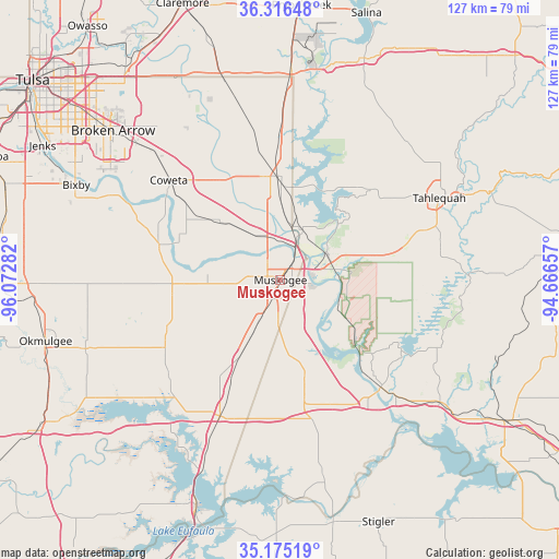
Muskogee GPS coordinates[2]
35° 44' 52.368" North, 95° 22' 10.884" West
| Map corner | latitude | longitude |
|---|---|---|
| Upper-left | 36.31648°, | -96.07282° |
| Center: | 35.74788°, | -95.36969° |
| Lower-right: | 35.17519°, | -94.66657° |
| Map W x H: | 126.9×126.9 km | = 78.9×78.9mi |
| max Lat: | 71.29058° ⇑71.6% North |
| Muskogee: | 35.74788° |
| min Lat: | ⇓28.4% South 19.06759° |
| min Long | Muskogee | max Long |
| -171.73463° | -95.36969° | -66.98998° |
| W 28%⇐ | ⇒72% E |
Elevation
Elevation of Muskogee is 191 m = 627 ft, and this is 103.8 m = 341 ft below average elevation for this country.
| Max E: |
3189 m = 10463 ft | 51.9% |
| Avg. | 294.8 m = 967 ft | |
| Muskogee | 191 m = 627 ft | |
Min E: |
-60 m = -197 ft | 48.1% |
See also: United States elevation on elevation.city.
Geographical zone
Muskogee is located in North temperate zone (between Tropic of Cancer and the Arctic Circle). Distance of this Northern Tropic circle is 1368.9 km =850.6 mi to South.| Distance of | km | miles | from Muskogee |
|---|---|---|---|
| North Pole | 6032.3 | 3748.3 | to North |
| Arctic Circle | 3426.4 | 2129.1 | to North |
| Tropic Cancer | 1368.9 | 850.6 | to South |
| Equator | 3974.8 | 2469.8 | to South |


Nearby cities:
15 places around Muskogee: (largest is in red/bold)
• Checotah
33.9 km =21.1 mi,  204°
204°
• Coweta
34 km =21.1 mi,  311°
311°
• Fort Gibson
12.1 km =7.5 mi,  62°
62°
• Gore
33.3 km =20.7 mi,  136°
136°
• Haskell
28.6 km =17.8 mi,  286°
286°
• Hulbert
29.1 km =18.1 mi,  45°
45°
• Lost City
34 km =21.1 mi,  38°
38°
• Okay
12.3 km =7.6 mi,  22°
22°
• Pettit
36.5 km =22.7 mi,  87°
87°
• Porter
19.4 km =12.1 mi, 314°
• Shady Grove
33 km =20.5 mi, 48°
• Wagoner
23.5 km =14.6 mi,  0°
0°
• Warner
28.8 km =17.9 mi,  168°
168°
• Webbers Falls
34.1 km =21.2 mi, 140°
• Woodall
28.9 km =18 mi,  70°
70°
Sources, notices
• [Note1] Compared only with cities in United States existing in our database
• [Src1] Map data: © OpenStreetMap contributors (CC-BY-SA)
• [Src2] Other city data from geonames.org with taken over terms of usage.
• [Src3] Geographical zone / Annual Mean Temperature by Robert A. Rohde @ Wikipedia
