Johnston geodata
Johnston (South Carolina) is a populated place; located in United States in America/New_York (GMT-4) time zone. With population of 2,348 people, there are 10975 cities with bigger population in this country. Compared to other cities in United States, 81.4% of cities are located further ↑North; 66.3% of cities are located further ←West and 51% of cities have lower elevation than Johnston. Note1


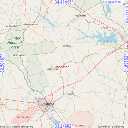
Johnston GPS coordinates[2]
33° 49' 55.488" North, 81° 48' 3.384" West
| Map corner | latitude | longitude |
|---|---|---|
| Upper-left | 34.41415°, | -82.50407° |
| Center: | 33.83208°, | -81.80094° |
| Lower-right: | 33.24602°, | -81.09782° |
| Map W x H: | 129.9×129.9 km | = 80.7×80.7mi |
| max Lat: | 71.29058° ⇑81.4% North |
| Johnston: | 33.83208° |
| min Lat: | ⇓18.6% South 19.06759° |
| min Long | Johnston | max Long |
| -171.73463° | -81.80094° | -66.98998° |
| W 66.3%⇐ | ⇒33.7% E |
Elevation
Elevation of Johnston is 202 m = 663 ft, and this is 92.8 m = 304 ft below average elevation for this country.
| Max E: |
3189 m = 10463 ft | 49% |
| Avg. | 294.8 m = 967 ft | |
| Johnston | 202 m = 663 ft | |
Min E: |
-60 m = -197 ft | 51% |
See also: United States elevation on elevation.city.
Geographical zone
Johnston is located in North temperate zone (between Tropic of Cancer and the Arctic Circle). Distance of this Northern Tropic circle is 1155.9 km =718.2 mi to South.| Distance of | km | miles | from Johnston |
|---|---|---|---|
| North Pole | 6245.3 | 3880.6 | to North |
| Arctic Circle | 3639.4 | 2261.4 | to North |
| Tropic Cancer | 1155.9 | 718.2 | to South |
| Equator | 3761.8 | 2337.5 | to South |


Nearby cities:
15 places around Johnston: (largest is in red/bold)
• Aiken
31.1 km =19.3 mi,  166°
166°
• Batesburg
24.9 km =15.5 mi,  70°
70°
• Batesburg-Leesville
25.8 km =16 mi, 70°
• Belvedere
36 km =22.4 mi,  201°
201°
• Burnettown
35.5 km =22.1 mi,  187°
187°
• Clearwater
38.2 km =23.7 mi, 192°
• Edgefield
12.8 km =8 mi,  248°
248°
• Gloverville
34.1 km =21.2 mi,  184°
184°
• Graniteville
29.8 km =18.5 mi, 181°
• Langley
35.2 km =21.9 mi, 186°
• Leesville
28.2 km =17.5 mi, 70°
• Murphys Estates
28.9 km =18 mi,  207°
207°
• Ridge Spring
12.9 km =8 mi,  83°
83°
• Saluda
19 km =11.8 mi,  8°
8°
• Warrenville
31.3 km =19.4 mi, 180°
Sources, notices
• [Note1] Compared only with cities in United States existing in our database
• [Src1] Map data: © OpenStreetMap contributors (CC-BY-SA)
• [Src2] Other city data from geonames.org with taken over terms of usage.
• [Src3] Geographical zone / Annual Mean Temperature by Robert A. Rohde @ Wikipedia
