Old River-Winfree geodata
Old River-Winfree (Texas) is a populated place; located in United States in America/Chicago (GMT-5) time zone. With population of 1,288 people, there are 14649 cities with bigger population in this country. Compared to other cities in United States, 93.8% of cities are located further ↑North; 70.7% of cities are located further →East and 90.5% of cities have higher elevation than Old River-Winfree. Note1


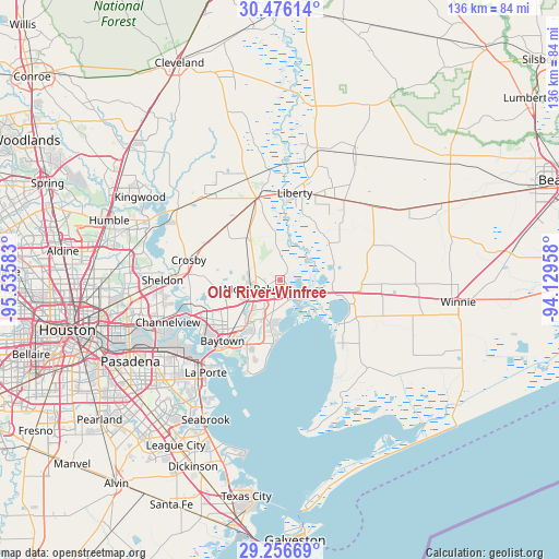
Old River-Winfree GPS coordinates[2]
29° 52' 5.808" North, 94° 49' 57.72" West
| Map corner | latitude | longitude |
|---|---|---|
| Upper-left | 30.47614°, | -95.53583° |
| Center: | 29.86828°, | -94.8327° |
| Lower-right: | 29.25669°, | -94.12958° |
| Map W x H: | 135.6×135.6 km | = 84.3×84.3mi |
| max Lat: | 71.29058° ⇑93.8% North |
| Old River-Winfree: | 29.86828° |
| min Lat: | ⇓6.2% South 19.06759° |
| min Long | Old River-Winfr | max Long |
| -171.73463° | -94.8327° | -66.98998° |
| W 29.3%⇐ | ⇒70.7% E |
Elevation
Elevation of Old River-Winfree is 15 m = 49 ft, and this is 279.8 m = 918 ft below average elevation for this country.
| Max E: |
3189 m = 10463 ft | 90.5% |
| Avg. | 294.8 m = 967 ft | |
| Old River-Winfree | 15 m = 49 ft | |
Min E: |
-60 m = -197 ft | 9.5% |
See also: United States elevation on elevation.city.
Geographical zone
Old River-Winfree is located in North temperate zone (between Tropic of Cancer and the Arctic Circle). Distance of this Northern Tropic circle is 715.1 km =444.3 mi to South.| Distance of | km | miles | from Old River-Winfree |
|---|---|---|---|
| North Pole | 6686 | 4154.5 | to North |
| Arctic Circle | 4080.1 | 2535.3 | to North |
| Tropic Cancer | 715.1 | 444.3 | to South |
| Equator | 3321 | 2063.6 | to South |


Nearby cities:
15 places around Old River-Winfree: (largest is in red/bold)
• Ames
22.3 km =13.9 mi,  22°
22°
• Anahuac
17.9 km =11.1 mi,  126°
126°
• Barrett
22.2 km =13.8 mi,  273°
273°
• Baytown
20.3 km =12.6 mi,  223°
223°
• Beach City
23.6 km =14.7 mi,  193°
193°
• Channelview
29.1 km =18.1 mi,  249°
249°
• Cove
5.4 km =3.4 mi,  147°
147°
• Crosby
22.6 km =14 mi,  282°
282°
• Dayton
20.5 km =12.7 mi,  345°
345°
• Highlands
22.2 km =13.8 mi,  255°
255°
• Kenefick
26.9 km =16.7 mi, 354°
• La Porte
28.8 km =17.9 mi, 218°
• Liberty
21.4 km =13.3 mi,  9°
9°
• Mont Belvieu
6 km =3.7 mi, 247°
• Sheldon
28.5 km =17.7 mi, 269°
Sources, notices
• [Note1] Compared only with cities in United States existing in our database
• [Src1] Map data: © OpenStreetMap contributors (CC-BY-SA)
• [Src2] Other city data from geonames.org with taken over terms of usage.
• [Src3] Geographical zone / Annual Mean Temperature by Robert A. Rohde @ Wikipedia
