Springville geodata
Springville (Virginia) is a populated place; located in United States in America/New_York (GMT-4) time zone. With population of 1,371 people, there are 14256 cities with bigger population in this country. Compared to other cities in United States, 65.3% of cities are located further ↑North; 68.1% of cities are located further ←West and 92.1% of cities have lower elevation than Springville. Note1


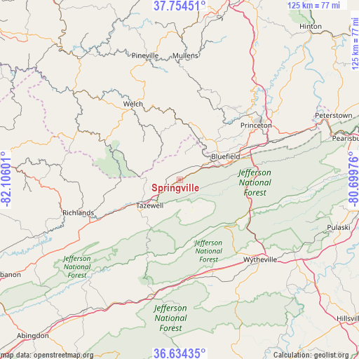
Springville GPS coordinates[2]
37° 11' 47.436" North, 81° 24' 10.368" West
| Map corner | latitude | longitude |
|---|---|---|
| Upper-left | 37.75451°, | -82.10601° |
| Center: | 37.19651°, | -81.40288° |
| Lower-right: | 36.63435°, | -80.69976° |
| Map W x H: | 124.6×124.6 km | = 77.4×77.4mi |
| max Lat: | 71.29058° ⇑65.3% North |
| Springville: | 37.19651° |
| min Lat: | ⇓34.7% South 19.06759° |
| min Long | Springville | max Long |
| -171.73463° | -81.40288° | -66.98998° |
| W 68.1%⇐ | ⇒31.9% E |
Elevation
Elevation of Springville is 814 m = 2671 ft, and this is 519.2 m = 1703 ft above average elevation for this country.
| Max E: |
3189 m = 10463 ft | 7.9% |
| Springville | 814 m 2671 ft | |
| Avg. | 294.8 m = 967 ft | |
Min E: |
-60 m = -197 ft | 92.1% |
See also: United States elevation on elevation.city.
Geographical zone
Springville is located in North temperate zone (between Tropic of Cancer and the Arctic Circle). Distance of this Northern Tropic circle is 1529.9 km =950.6 mi to South.| Distance of | km | miles | from Springville |
|---|---|---|---|
| North Pole | 5871.2 | 3648.2 | to North |
| Arctic Circle | 3265.3 | 2029 | to North |
| Tropic Cancer | 1529.9 | 950.6 | to South |
| Equator | 4135.9 | 2569.9 | to South |


Nearby cities:
15 places around Springville: (largest is in red/bold)
• Bland
27.5 km =17.1 mi,  112°
112°
• Bluefield
13.2 km =8.2 mi,  61°
61°
• Bluefield
17.9 km =11.1 mi, 62°
• Bluewell
18.1 km =11.2 mi,  44°
44°
• Brush Fork
16 km =9.9 mi,  54°
54°
• Cedar Bluff
33.8 km =21 mi,  249°
249°
• Claypool Hill
34.3 km =21.3 mi,  244°
244°
• Gary
22.7 km =14.1 mi,  324°
324°
• Gratton
6.9 km =4.3 mi,  188°
188°
• Montcalm
22 km =13.7 mi, 37°
• Piedmont
30.8 km =19.1 mi,  23°
23°
• Princeton
32.6 km =20.3 mi, 54°
• Tazewell
13.8 km =8.6 mi,  228°
228°
• War
28 km =17.4 mi,  294°
294°
• Welch
30.8 km =19.1 mi,  328°
328°
Sources, notices
• [Note1] Compared only with cities in United States existing in our database
• [Src1] Map data: © OpenStreetMap contributors (CC-BY-SA)
• [Src2] Other city data from geonames.org with taken over terms of usage.
• [Src3] Geographical zone / Annual Mean Temperature by Robert A. Rohde @ Wikipedia
