Hamlin geodata
Hamlin (West Virginia) is a seat of a second-order administrative division; located in United States in America/New_York (GMT-4) time zone. With population of 1,123 people, there are 15556 cities with bigger population in this country. Compared to other cities in United States, 60.1% of cities are located further ↑North; 65.2% of cities are located further ←West and 50.2% of cities have lower elevation than Hamlin. Note1


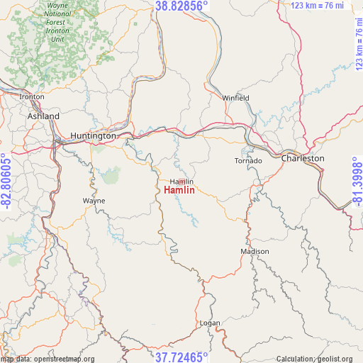
Hamlin GPS coordinates[2]
38° 16' 43.32" North, 82° 6' 10.512" West
| Map corner | latitude | longitude |
|---|---|---|
| Upper-left | 38.82856°, | -82.80605° |
| Center: | 38.2787°, | -82.10292° |
| Lower-right: | 37.72465°, | -81.3998° |
| Map W x H: | 122.7×122.7 km | = 76.2×76.2mi |
| max Lat: | 71.29058° ⇑60.1% North |
| Hamlin: | 38.2787° |
| min Lat: | ⇓39.9% South 19.06759° |
| min Long | Hamlin | max Long |
| -171.73463° | -82.10292° | -66.98998° |
| W 65.2%⇐ | ⇒34.8% E |
Elevation
Elevation of Hamlin is 199 m = 653 ft, and this is 95.8 m = 314 ft below average elevation for this country.
| Max E: |
3189 m = 10463 ft | 49.8% |
| Avg. | 294.8 m = 967 ft | |
| Hamlin | 199 m = 653 ft | |
Min E: |
-60 m = -197 ft | 50.2% |
See also: United States elevation on elevation.city.
Geographical zone
Hamlin is located in North temperate zone (between Tropic of Cancer and the Arctic Circle). Distance of this Northern Tropic circle is 1650.3 km =1025.4 mi to South.| Distance of | km | miles | from Hamlin |
|---|---|---|---|
| North Pole | 5750.9 | 3573.4 | to North |
| Arctic Circle | 3145 | 1954.2 | to North |
| Tropic Cancer | 1650.3 | 1025.4 | to South |
| Equator | 4256.2 | 2644.7 | to South |


Nearby cities:
15 places around Hamlin: (largest is in red/bold)
• Alum Creek
26 km =16.2 mi,  88°
88°
• Barboursville
22.2 km =13.8 mi,  311°
311°
• Culloden
16.3 km =10.1 mi,  14°
14°
• Harts
27.6 km =17.1 mi,  184°
184°
• Hurricane
18.6 km =11.6 mi,  22°
22°
• Jefferson
30.1 km =18.7 mi,  69°
69°
• Milton
17.5 km =10.9 mi,  351°
351°
• Nitro
27.2 km =16.9 mi,  56°
56°
• Pea Ridge
24.2 km =15 mi, 308°
• Proctorville
29.7 km =18.5 mi, 306°
• Saint Albans
26.1 km =16.2 mi, 62°
• Teays Valley
24.3 km =15.1 mi,  38°
38°
• Tornado
23.7 km =14.7 mi, 72°
• Wayne
30.3 km =18.8 mi,  257°
257°
• West Hamlin
8.1 km =5 mi,  275°
275°
Sources, notices
• [Note1] Compared only with cities in United States existing in our database
• [Src1] Map data: © OpenStreetMap contributors (CC-BY-SA)
• [Src2] Other city data from geonames.org with taken over terms of usage.
• [Src3] Geographical zone / Annual Mean Temperature by Robert A. Rohde @ Wikipedia
