Indianola geodata
Indianola (Iowa) is a seat of a second-order administrative division; located in United States in America/Chicago (GMT-5) time zone. With population of 15,467 people, there are 3152 cities with bigger population in this country. Compared to other cities in United States, 69.4% of cities are located further ↓South; 67.6% of cities are located further →East and 71.7% of cities have lower elevation than Indianola. Note1


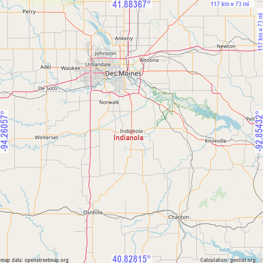
Indianola GPS coordinates[2]
41° 21' 28.98" North, 93° 33' 26.784" West
| Map corner | latitude | longitude |
|---|---|---|
| Upper-left | 41.88367°, | -94.26057° |
| Center: | 41.35805°, | -93.55744° |
| Lower-right: | 40.82815°, | -92.85432° |
| Map W x H: | 117.4×117.4 km | = 72.9×72.9mi |
| max Lat: | 71.29058° ⇑30.6% North |
| Indianola: | 41.35805° |
| min Lat: | ⇓69.4% South 19.06759° |
| min Long | Indianola | max Long |
| -171.73463° | -93.55744° | -66.98998° |
| W 32.4%⇐ | ⇒67.6% E |
Elevation
Elevation of Indianola is 294 m = 965 ft, and this is 0.80000000000001 m = 3 ft below average elevation for this country.
| Max E: |
3189 m = 10463 ft | 28.3% |
| Avg. | 294.8 m = 967 ft | |
| Indianola | 294 m = 965 ft | |
Min E: |
-60 m = -197 ft | 71.7% |
See also: United States elevation on elevation.city.
Geographical zone
Indianola is located in North temperate zone (between Tropic of Cancer and the Arctic Circle). Distance of this Northern Tropic circle is 1992.7 km =1238.2 mi to South.| Distance of | km | miles | from Indianola |
|---|---|---|---|
| North Pole | 5408.5 | 3360.7 | to North |
| Arctic Circle | 2802.6 | 1741.5 | to North |
| Tropic Cancer | 1992.7 | 1238.2 | to South |
| Equator | 4598.6 | 2857.4 | to South |


Nearby cities:
15 places around Indianola: (largest is in red/bold)
• Altoona
32.7 km =20.3 mi,  13°
13°
• Carlisle
16.8 km =10.4 mi,  19°
19°
• Clive
30.6 km =19 mi,  332°
332°
• Des Moines
27.3 km =17 mi,  350°
350°
• Hartford
17 km =10.6 mi,  48°
48°
• Melcher-Dallas
30.3 km =18.8 mi,  119°
119°
• Milo
12.1 km =7.5 mi,  127°
127°
• Norwalk
16.5 km =10.3 mi,  322°
322°
• Pleasant Hill
25.3 km =15.7 mi, 7°
• Pleasantville
24.2 km =15 mi,  82°
82°
• Runnells
23.8 km =14.8 mi,  44°
44°
• Saint Charles
22.4 km =13.9 mi,  249°
249°
• Urbandale
32.5 km =20.2 mi,  336°
336°
• West Des Moines
27.5 km =17.1 mi, 332°
• Windsor Heights
29.5 km =18.3 mi, 334°
Sources, notices
• [Note1] Compared only with cities in United States existing in our database
• [Src1] Map data: © OpenStreetMap contributors (CC-BY-SA)
• [Src2] Other city data from geonames.org with taken over terms of usage.
• [Src3] Geographical zone / Annual Mean Temperature by Robert A. Rohde @ Wikipedia
