Danville geodata
Danville (Illinois) is a seat of a second-order administrative division; located in United States in America/Chicago (GMT-5) time zone. With population of 32,108 people, there are 1560 cities with bigger population in this country. Compared to other cities in United States, 54.8% of cities are located further ↓South; 51.1% of cities are located further →East and 52.5% of cities have higher elevation than Danville. Note1
Administrative division(s):
- Level 1: Illinois
- Level 2: Vermilion County
- Level 3: Township of Danville


Danville GPS coordinates[2]
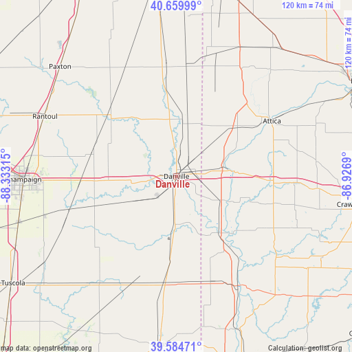
40° 7' 28.128" North, 87° 37' 48.072" West
| Map corner | latitude | longitude |
|---|---|---|
| Upper-left | 40.65999°, | -88.33315° |
| Center: | 40.12448°, | -87.63002° |
| Lower-right: | 39.58471°, | -86.9269° |
| Map W x H: | 119.6×119.6 km | = 74.3×74.3mi |
| max Lat: | 71.29058° ⇑45.2% North |
| Danville: | 40.12448° |
| min Lat: | ⇓54.8% South 19.06759° |
| min Long | Danville | max Long |
| -171.73463° | -87.63002° | -66.98998° |
| W 48.9%⇐ | ⇒51.1% E |
Elevation
Elevation of Danville is 189 m = 620 ft, and this is 105.8 m = 347 ft below average elevation for this country.
| Max E: |
3189 m = 10463 ft | 52.5% |
| Avg. | 294.8 m = 967 ft | |
| Danville | 189 m = 620 ft | |
Min E: |
-60 m = -197 ft | 47.5% |
See also: United States elevation on elevation.city.
Geographical zone
Danville is located in North temperate zone (between Tropic of Cancer and the Arctic Circle). Distance of this Northern Tropic circle is 1855.5 km =1153 mi to South.| Distance of | km | miles | from Danville |
|---|---|---|---|
| North Pole | 5545.6 | 3445.9 | to North |
| Arctic Circle | 2939.8 | 1826.7 | to North |
| Tropic Cancer | 1855.5 | 1153 | to South |
| Equator | 4461.4 | 2772.2 | to South |


Nearby cities:
15 places around Danville: (largest is in red/bold)
• Bismarck
15.6 km =9.7 mi,  6°
6°
• Catlin
9 km =5.6 mi,  222°
222°
• Cayuga
24.3 km =15.1 mi,  143°
143°
• Covington
20.1 km =12.5 mi,  84°
84°
• Fairmount
19.2 km =11.9 mi,  242°
242°
• Georgetown
16.6 km =10.3 mi,  181°
181°
• Oakwood
12.6 km =7.8 mi,  265°
265°
• Ogden
27.8 km =17.3 mi, 267°
• Potomac
24.8 km =15.4 mi,  324°
324°
• Ridge Farm
25.5 km =15.8 mi, 184°
• Rossville
28.5 km =17.7 mi,  353°
353°
• Sidell
28.9 km =18 mi,  214°
214°
• Tilton
3.6 km =2.2 mi,  204°
204°
• West Lebanon
26.2 km =16.3 mi,  51°
51°
• Westville
9.2 km =5.7 mi, 184°
Sources, notices
• [Note1] Compared only with cities in United States existing in our database
• [Src1] Map data: © OpenStreetMap contributors (CC-BY-SA)
• [Src2] Other city data from geonames.org with taken over terms of usage.
• [Src3] Geographical zone / Annual Mean Temperature by Robert A. Rohde @ Wikipedia
