Georgetown geodata
Georgetown (Illinois) is a populated place; located in United States in America/Chicago (GMT-5) time zone. With population of 3,363 people, there are 9049 cities with bigger population in this country. Compared to other cities in United States, 53.3% of cities are located further ↓South; 51.2% of cities are located further →East and 51.7% of cities have lower elevation than Georgetown. Note1
Administrative division(s):
- Level 1: Illinois
- Level 2: Vermilion County
- Level 3: Township of Georgetown


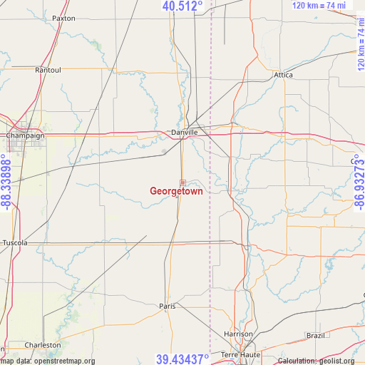
Georgetown GPS coordinates[2]
39° 58' 31.116" North, 87° 38' 9.06" West
| Map corner | latitude | longitude |
|---|---|---|
| Upper-left | 40.512°, | -88.33898° |
| Center: | 39.97531°, | -87.63585° |
| Lower-right: | 39.43437°, | -86.93273° |
| Map W x H: | 119.8×119.8 km | = 74.4×74.4mi |
| max Lat: | 71.29058° ⇑46.7% North |
| Georgetown: | 39.97531° |
| min Lat: | ⇓53.3% South 19.06759° |
| min Long | Georgetown | max Long |
| -171.73463° | -87.63585° | -66.98998° |
| W 48.8%⇐ | ⇒51.2% E |
Elevation
Elevation of Georgetown is 205 m = 673 ft, and this is 89.8 m = 295 ft below average elevation for this country.
| Max E: |
3189 m = 10463 ft | 48.3% |
| Avg. | 294.8 m = 967 ft | |
| Georgetown | 205 m = 673 ft | |
Min E: |
-60 m = -197 ft | 51.7% |
See also: United States elevation on elevation.city.
Geographical zone
Georgetown is located in North temperate zone (between Tropic of Cancer and the Arctic Circle). Distance of this Northern Tropic circle is 1838.9 km =1142.6 mi to South.| Distance of | km | miles | from Georgetown |
|---|---|---|---|
| North Pole | 5562.2 | 3456.2 | to North |
| Arctic Circle | 2956.3 | 1837 | to North |
| Tropic Cancer | 1838.9 | 1142.6 | to South |
| Equator | 4444.8 | 2761.9 | to South |


Nearby cities:
15 places around Georgetown: (largest is in red/bold)
• Catlin
11.5 km =7.1 mi,  330°
330°
• Cayuga
15.3 km =9.5 mi,  101°
101°
• Chrisman
19.4 km =12.1 mi,  189°
189°
• Covington
27.6 km =17.1 mi,  47°
47°
• Dana
22.2 km =13.8 mi,  147°
147°
• Danville
16.6 km =10.3 mi,  1°
1°
• Fairmount
18.3 km =11.4 mi,  295°
295°
• Homer
28.2 km =17.5 mi,  283°
283°
• Montezuma
30.4 km =18.9 mi,  131°
131°
• Newport
21.9 km =13.6 mi,  117°
117°
• Oakwood
19.8 km =12.3 mi,  322°
322°
• Ridge Farm
9 km =5.6 mi, 188°
• Sidell
17.4 km =10.8 mi,  245°
245°
• Tilton
13.4 km =8.3 mi,  355°
355°
• Westville
7.4 km =4.6 mi, 358°
Sources, notices
• [Note1] Compared only with cities in United States existing in our database
• [Src1] Map data: © OpenStreetMap contributors (CC-BY-SA)
• [Src2] Other city data from geonames.org with taken over terms of usage.
• [Src3] Geographical zone / Annual Mean Temperature by Robert A. Rohde @ Wikipedia
