Pearl Beach geodata
Pearl Beach (Michigan) is a populated place; located in United States in America/Detroit (GMT-4) time zone. With population of 2,829 people, there are 9947 cities with bigger population in this country. Compared to other cities in United States, 80.8% of cities are located further ↓South; 63.3% of cities are located further ←West and 56% of cities have higher elevation than Pearl Beach. Note1


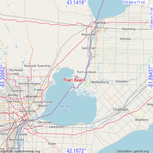
Pearl Beach GPS coordinates[2]
42° 37' 36.12" North, 82° 35' 51.684" West
| Map corner | latitude | longitude |
|---|---|---|
| Upper-left | 43.1419°, | -83.30082° |
| Center: | 42.6267°, | -82.59769° |
| Lower-right: | 42.1072°, | -81.89457° |
| Map W x H: | 115×115 km | = 71.5×71.5mi |
| max Lat: | 71.29058° ⇑19.2% North |
| Pearl Beach: | 42.6267° |
| min Lat: | ⇓80.8% South 19.06759° |
| min Long | Pearl Beach | max Long |
| -171.73463° | -82.59769° | -66.98998° |
| W 63.3%⇐ | ⇒36.7% E |
Elevation
Elevation of Pearl Beach is 176 m = 577 ft, and this is 118.8 m = 390 ft below average elevation for this country.
| Max E: |
3189 m = 10463 ft | 56% |
| Avg. | 294.8 m = 967 ft | |
| Pearl Beach | 176 m = 577 ft | |
Min E: |
-60 m = -197 ft | 44% |
See also: United States elevation on elevation.city.
Geographical zone
Pearl Beach is located in North temperate zone (between Tropic of Cancer and the Arctic Circle). Distance of this Northern Tropic circle is 2133.7 km =1325.8 mi to South.| Distance of | km | miles | from Pearl Beach |
|---|---|---|---|
| North Pole | 5267.4 | 3273 | to North |
| Arctic Circle | 2661.5 | 1653.8 | to North |
| Tropic Cancer | 2133.7 | 1325.8 | to South |
| Equator | 4739.6 | 2945 | to South |


Nearby cities:
15 places around Pearl Beach: (largest is in red/bold)
• Algonac
5.4 km =3.4 mi,  99°
99°
• Clinton Township
26.7 km =16.6 mi,  260°
260°
• Fraser
30.4 km =18.9 mi,  251°
251°
• Grosse Pointe Shores
31.1 km =19.3 mi,  227°
227°
• Grosse Pointe Woods
32.5 km =20.2 mi, 231°
• Marine City
13.4 km =8.3 mi,  39°
39°
• Marysville
33 km =20.5 mi,  15°
15°
• Memphis
33.1 km =20.6 mi,  335°
335°
• Mount Clemens
23.2 km =14.4 mi, 261°
• New Baltimore
12.9 km =8 mi,  298°
298°
• New Haven
20.2 km =12.6 mi, 304°
• Richmond
24.1 km =15 mi,  327°
327°
• Roseville
31.3 km =19.4 mi,  242°
242°
• Saint Clair
23.4 km =14.5 mi, 22°
• Saint Clair Shores
27.9 km =17.3 mi, 238°
Sources, notices
• [Note1] Compared only with cities in United States existing in our database
• [Src1] Map data: © OpenStreetMap contributors (CC-BY-SA)
• [Src2] Other city data from geonames.org with taken over terms of usage.
• [Src3] Geographical zone / Annual Mean Temperature by Robert A. Rohde @ Wikipedia
