Adams geodata
Adams (Nebraska) is a populated place; located in United States in America/Chicago (GMT-5) time zone. With population of 596 people, there are 19749 cities with bigger population in this country. Compared to other cities in United States, 58.5% of cities are located further ↓South; 74.5% of cities are located further →East and 82.6% of cities have lower elevation than Adams. Note1


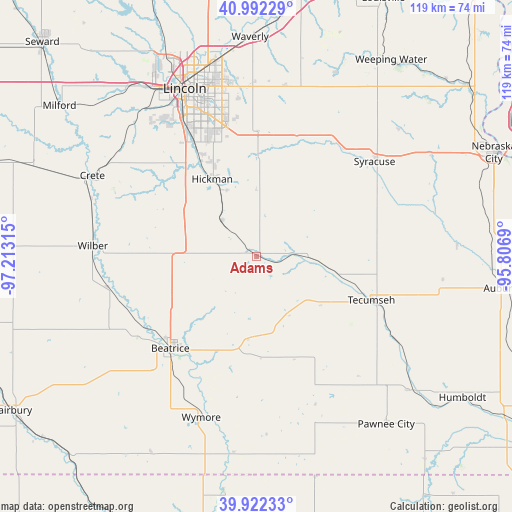
Adams GPS coordinates[2]
40° 27' 33.984" North, 96° 30' 36.072" West
| Map corner | latitude | longitude |
|---|---|---|
| Upper-left | 40.99229°, | -97.21315° |
| Center: | 40.45944°, | -96.51002° |
| Lower-right: | 39.92233°, | -95.8069° |
| Map W x H: | 119×119 km | = 73.9×73.9mi |
| max Lat: | 71.29058° ⇑41.5% North |
| Adams: | 40.45944° |
| min Lat: | ⇓58.5% South 19.06759° |
| min Long | Adams | max Long |
| -171.73463° | -96.51002° | -66.98998° |
| W 25.5%⇐ | ⇒74.5% E |
Elevation
Elevation of Adams is 383 m = 1257 ft, and this is 88.2 m = 289 ft above average elevation for this country.
| Max E: |
3189 m = 10463 ft | 17.4% |
| Adams | 383 m 1257 ft | |
| Avg. | 294.8 m = 967 ft | |
Min E: |
-60 m = -197 ft | 82.6% |
See also: United States elevation on elevation.city.
Geographical zone
Adams is located in North temperate zone (between Tropic of Cancer and the Arctic Circle). Distance of this Northern Tropic circle is 1892.7 km =1176.1 mi to South.| Distance of | km | miles | from Adams |
|---|---|---|---|
| North Pole | 5508.4 | 3422.8 | to North |
| Arctic Circle | 2902.5 | 1803.5 | to North |
| Tropic Cancer | 1892.7 | 1176.1 | to South |
| Equator | 4498.7 | 2795.4 | to South |


Nearby cities:
15 places around Adams: (largest is in red/bold)
• Beatrice
29.3 km =18.2 mi,  223°
223°
• Bennet
24.5 km =15.2 mi,  0°
0°
• Crete
42.5 km =26.4 mi,  296°
296°
• De Witt
35.7 km =22.2 mi,  258°
258°
• Eagle
40.3 km =25 mi,  9°
9°
• Elmwood
46.3 km =28.8 mi,  23°
23°
• Firth
11.5 km =7.1 mi,  314°
314°
• Hickman
20.5 km =12.7 mi,  330°
330°
• Lincoln
40.1 km =24.9 mi,  340°
340°
• Palmyra
29.1 km =18.1 mi, 20°
• Pawnee City
49.3 km =30.6 mi,  142°
142°
• Syracuse
35.1 km =21.8 mi,  51°
51°
• Tecumseh
28.5 km =17.7 mi,  111°
111°
• Wilber
38.2 km =23.7 mi,  273°
273°
• Wymore
39.7 km =24.7 mi,  199°
199°
Sources, notices
• [Note1] Compared only with cities in United States existing in our database
• [Src1] Map data: © OpenStreetMap contributors (CC-BY-SA)
• [Src2] Other city data from geonames.org with taken over terms of usage.
• [Src3] Geographical zone / Annual Mean Temperature by Robert A. Rohde @ Wikipedia
