Hamlin geodata
Hamlin (New York) is a populated place; located in United States in America/New_York (GMT-4) time zone. With population of 5,521 people, there are 6740 cities with bigger population in this country. Compared to other cities in United States, 85.4% of cities are located further ↓South; 77.9% of cities are located further ←West and 70.4% of cities have higher elevation than Hamlin. Note1


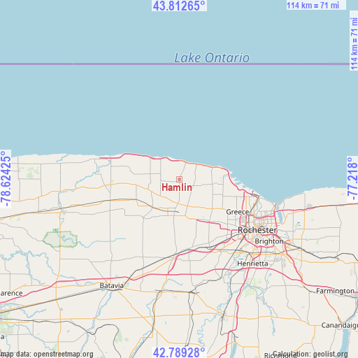
Hamlin GPS coordinates[2]
43° 18' 11.232" North, 77° 55' 16.032" West
| Map corner | latitude | longitude |
|---|---|---|
| Upper-left | 43.81265°, | -78.62425° |
| Center: | 43.30312°, | -77.92112° |
| Lower-right: | 42.78928°, | -77.218° |
| Map W x H: | 113.8×113.8 km | = 70.7×70.7mi |
| max Lat: | 71.29058° ⇑14.6% North |
| Hamlin: | 43.30312° |
| min Lat: | ⇓85.4% South 19.06759° |
| min Long | Hamlin | max Long |
| -171.73463° | -77.92112° | -66.98998° |
| W 77.9%⇐ | ⇒22.1% E |
Elevation
Elevation of Hamlin is 98 m = 322 ft, and this is 196.8 m = 646 ft below average elevation for this country.
| Max E: |
3189 m = 10463 ft | 70.4% |
| Avg. | 294.8 m = 967 ft | |
| Hamlin | 98 m = 322 ft | |
Min E: |
-60 m = -197 ft | 29.6% |
See also: United States elevation on elevation.city.
Geographical zone
Hamlin is located in North temperate zone (between Tropic of Cancer and the Arctic Circle). Distance of this Northern Tropic circle is 2208.9 km =1372.5 mi to South.| Distance of | km | miles | from Hamlin |
|---|---|---|---|
| North Pole | 5192.2 | 3226.3 | to North |
| Arctic Circle | 2586.3 | 1607.1 | to North |
| Tropic Cancer | 2208.9 | 1372.5 | to South |
| Equator | 4814.9 | 2991.8 | to South |


Nearby cities:
15 places around Hamlin: (largest is in red/bold)
• Albion
22.9 km =14.2 mi,  254°
254°
• Bergen
24.3 km =15.1 mi,  184°
184°
• Brockport
10.1 km =6.3 mi,  188°
188°
• Churchville
22.3 km =13.9 mi,  172°
172°
• Clarkson
7.8 km =4.8 mi, 183°
• Elba
33.1 km =20.6 mi,  220°
220°
• Gates-North Gates
23.5 km =14.6 mi,  130°
130°
• Greece
21.2 km =13.2 mi,  119°
119°
• Hilton
10.5 km =6.5 mi,  99°
99°
• Holley
12.1 km =7.5 mi,  225°
225°
• Irondequoit
29.4 km =18.3 mi,  109°
109°
• North Gates
22.7 km =14.1 mi, 128°
• Rochester
29.7 km =18.5 mi, 123°
• Scottsville
34 km =21.1 mi,  155°
155°
• Spencerport
16.1 km =10 mi,  143°
143°
Sources, notices
• [Note1] Compared only with cities in United States existing in our database
• [Src1] Map data: © OpenStreetMap contributors (CC-BY-SA)
• [Src2] Other city data from geonames.org with taken over terms of usage.
• [Src3] Geographical zone / Annual Mean Temperature by Robert A. Rohde @ Wikipedia
