Telford geodata
Telford (Pennsylvania) is a populated place; located in United States in America/New_York (GMT-4) time zone. With population of 4,861 people, there are 7305 cities with bigger population in this country. Compared to other cities in United States, 56.9% of cities are located further ↓South; 86.2% of cities are located further ←West and 63.5% of cities have higher elevation than Telford. Note1


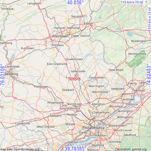
Telford GPS coordinates[2]
40° 19' 19.38" North, 75° 19' 40.62" West
| Map corner | latitude | longitude |
|---|---|---|
| Upper-left | 40.856°, | -76.03108° |
| Center: | 40.32205°, | -75.32795° |
| Lower-right: | 39.78385°, | -74.62483° |
| Map W x H: | 119.2×119.2 km | = 74.1×74.1mi |
| max Lat: | 71.29058° ⇑43.1% North |
| Telford: | 40.32205° |
| min Lat: | ⇓56.9% South 19.06759° |
| min Long | Telford | max Long |
| -171.73463° | -75.32795° | -66.98998° |
| W 86.2%⇐ | ⇒13.8% E |
Elevation
Elevation of Telford is 136 m = 446 ft, and this is 158.8 m = 521 ft below average elevation for this country.
| Max E: |
3189 m = 10463 ft | 63.5% |
| Avg. | 294.8 m = 967 ft | |
| Telford | 136 m = 446 ft | |
Min E: |
-60 m = -197 ft | 36.5% |
See also: United States elevation on elevation.city.
Geographical zone
Telford is located in North temperate zone (between Tropic of Cancer and the Arctic Circle). Distance of this Northern Tropic circle is 1877.5 km =1166.6 mi to South.| Distance of | km | miles | from Telford |
|---|---|---|---|
| North Pole | 5523.7 | 3432.3 | to North |
| Arctic Circle | 2917.8 | 1813 | to North |
| Tropic Cancer | 1877.5 | 1166.6 | to South |
| Equator | 4483.4 | 2785.9 | to South |


Nearby cities:
15 places around Telford: (largest is in red/bold)
• Brittany Farms-Highlands
11.3 km =7 mi,  121°
121°
• Chalfont
10.8 km =6.7 mi,  110°
110°
• Dublin
12.1 km =7.5 mi,  62°
62°
• Harleysville
6.9 km =4.3 mi,  226°
226°
• Hatfield
5.3 km =3.3 mi,  152°
152°
• Kulpsville
8.8 km =5.5 mi,  184°
184°
• Lansdale
9.7 km =6 mi,  157°
157°
• Montgomeryville
11 km =6.8 mi,  139°
139°
• Perkasie
6.3 km =3.9 mi,  28°
28°
• Sellersville
4.1 km =2.5 mi, 28°
• Silverdale
5.6 km =3.5 mi, 59°
• Souderton
1.2 km =0.7 mi,  168°
168°
• Spring Mount
12.1 km =7.5 mi,  244°
244°
• Trumbauersville
10.7 km =6.6 mi,  336°
336°
• Woxall
10.3 km =6.4 mi,  262°
262°
Sources, notices
• [Note1] Compared only with cities in United States existing in our database
• [Src1] Map data: © OpenStreetMap contributors (CC-BY-SA)
• [Src2] Other city data from geonames.org with taken over terms of usage.
• [Src3] Geographical zone / Annual Mean Temperature by Robert A. Rohde @ Wikipedia
