Ipswich geodata
Ipswich (South Dakota) is a seat of a second-order administrative division; located in United States in America/Chicago (GMT-5) time zone. With population of 959 people, there are 16573 cities with bigger population in this country. Compared to other cities in United States, 93.8% of cities are located further ↓South; 80% of cities are located further →East and 86.9% of cities have lower elevation than Ipswich. Note1


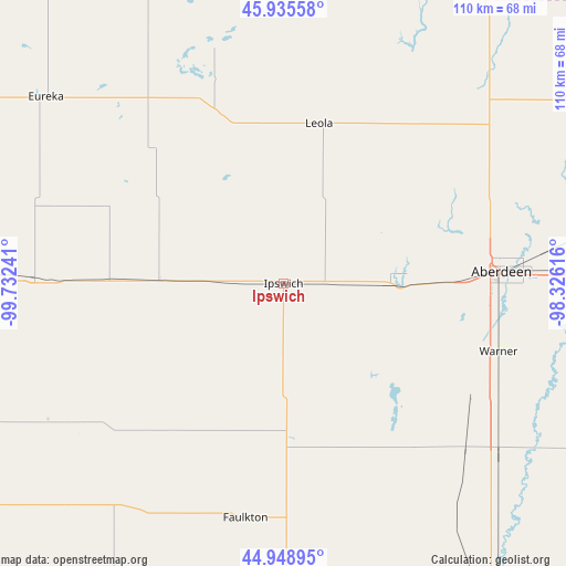
Ipswich GPS coordinates[2]
45° 26' 39.912" North, 99° 1' 45.408" West
| Map corner | latitude | longitude |
|---|---|---|
| Upper-left | 45.93558°, | -99.73241° |
| Center: | 45.44442°, | -99.02928° |
| Lower-right: | 44.94895°, | -98.32616° |
| Map W x H: | 109.7×109.7 km | = 68.2×68.2mi |
| max Lat: | 71.29058° ⇑6.2% North |
| Ipswich: | 45.44442° |
| min Lat: | ⇓93.8% South 19.06759° |
| min Long | Ipswich | max Long |
| -171.73463° | -99.02928° | -66.98998° |
| W 20%⇐ | ⇒80% E |
Elevation
Elevation of Ipswich is 465 m = 1526 ft, and this is 170.2 m = 558 ft above average elevation for this country.
| Max E: |
3189 m = 10463 ft | 13.1% |
| Ipswich | 465 m 1526 ft | |
| Avg. | 294.8 m = 967 ft | |
Min E: |
-60 m = -197 ft | 86.9% |
See also: United States elevation on elevation.city.
Geographical zone
Ipswich is located in North temperate zone (between Tropic of Cancer and the Arctic Circle). Distance of this North polar circle is 2348.2 km =1459.1 mi to North.| Distance of | km | miles | from Ipswich |
|---|---|---|---|
| North Pole | 4954.1 | 3078.3 | to North |
| Arctic Circle | 2348.2 | 1459.1 | to North |
| Tropic Cancer | 2447 | 1520.5 | to South |
| Equator | 5052.9 | 3139.7 | to South |


Nearby cities:
15 places around Ipswich: (largest is in red/bold)
• Aberdeen
42.4 km =26.3 mi,  86°
86°
• Ashley
70.7 km =43.9 mi,  337°
337°
• Bowdle
48.7 km =30.3 mi,  271°
271°
• Edgeley
104.6 km =65 mi,  13°
13°
• Ellendale
73.3 km =45.5 mi,  32°
32°
• Eureka
58.4 km =36.3 mi,  308°
308°
• Faulkton
46.1 km =28.6 mi,  189°
189°
• Gettysburg
87.1 km =54.1 mi,  236°
236°
• Groton
72.6 km =45.1 mi, 89°
• Leola
31.7 km =19.7 mi, 12°
• Miller
103 km =64 mi,  178°
178°
• Mound City
86.7 km =53.9 mi,  291°
291°
• Redfield
74.8 km =46.5 mi,  147°
147°
• Selby
78.5 km =48.8 mi,  275°
275°
• Wishek
99.2 km =61.6 mi, 335°
Sources, notices
• [Note1] Compared only with cities in United States existing in our database
• [Src1] Map data: © OpenStreetMap contributors (CC-BY-SA)
• [Src2] Other city data from geonames.org with taken over terms of usage.
• [Src3] Geographical zone / Annual Mean Temperature by Robert A. Rohde @ Wikipedia
