Bonsall geodata
Bonsall (California) is a populated place; located in United States in America/Los_Angeles (GMT-7) time zone. With population of 3,982 people, there are 8238 cities with bigger population in this country. Compared to other cities in United States, 84% of cities are located further ↑North; 90% of cities are located further →East and 78.2% of cities have higher elevation than Bonsall. Note1


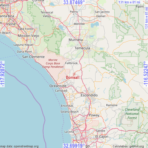
Bonsall GPS coordinates[2]
33° 17' 20.112" North, 117° 13' 32.124" West
| Map corner | latitude | longitude |
|---|---|---|
| Upper-left | 33.87469°, | -117.92872° |
| Center: | 33.28892°, | -117.22559° |
| Lower-right: | 32.69919°, | -116.52247° |
| Map W x H: | 130.7×130.7 km | = 81.2×81.2mi |
| max Lat: | 71.29058° ⇑84% North |
| Bonsall: | 33.28892° |
| min Lat: | ⇓16% South 19.06759° |
| min Long | Bonsall | max Long |
| -171.73463° | -117.22559° | -66.98998° |
| W 10%⇐ | ⇒90% E |
Elevation
Elevation of Bonsall is 55 m = 180 ft, and this is 239.8 m = 787 ft below average elevation for this country.
| Max E: |
3189 m = 10463 ft | 78.2% |
| Avg. | 294.8 m = 967 ft | |
| Bonsall | 55 m = 180 ft | |
Min E: |
-60 m = -197 ft | 21.8% |
See also: United States elevation on elevation.city.
Geographical zone
Bonsall is located in North temperate zone (between Tropic of Cancer and the Arctic Circle). Distance of this Northern Tropic circle is 1095.5 km =680.7 mi to South.| Distance of | km | miles | from Bonsall |
|---|---|---|---|
| North Pole | 6305.7 | 3918.2 | to North |
| Arctic Circle | 3699.8 | 2298.9 | to North |
| Tropic Cancer | 1095.5 | 680.7 | to South |
| Equator | 3701.4 | 2299.9 | to South |


Nearby cities:
15 places around Bonsall: (largest is in red/bold)
• Camp Pendleton North
8.9 km =5.5 mi,  288°
288°
• Camp Pendleton South
15.8 km =9.8 mi,  244°
244°
• Carlsbad
18.6 km =11.6 mi,  218°
218°
• Encinitas
28.7 km =17.8 mi,  192°
192°
• Escondido
22.9 km =14.2 mi,  145°
145°
• Fallbrook
10 km =6.2 mi,  346°
346°
• Hidden Meadows
12.7 km =7.9 mi,  123°
123°
• Hidden Trails
25.1 km =15.6 mi,  131°
131°
• Lake San Marcos
18.2 km =11.3 mi,  174°
174°
• Oceanside
17.7 km =11 mi,  234°
234°
• Rainbow
15.3 km =9.5 mi,  28°
28°
• San Marcos
17.1 km =10.6 mi,  161°
161°
• Temecula
23.9 km =14.9 mi,  17°
17°
• Valley Center
19.4 km =12.1 mi,  113°
113°
• Vista
10 km =6.2 mi, 189°
Sources, notices
• [Note1] Compared only with cities in United States existing in our database
• [Src1] Map data: © OpenStreetMap contributors (CC-BY-SA)
• [Src2] Other city data from geonames.org with taken over terms of usage.
• [Src3] Geographical zone / Annual Mean Temperature by Robert A. Rohde @ Wikipedia
