Graeagle geodata
Graeagle (California) is a populated place; located in United States in America/Los_Angeles (GMT-7) time zone. With population of 737 people, there are 18337 cities with bigger population in this country. Compared to other cities in United States, 51.3% of cities are located further ↓South; 93.4% of cities are located further →East and 95.5% of cities have lower elevation than Graeagle. Note1


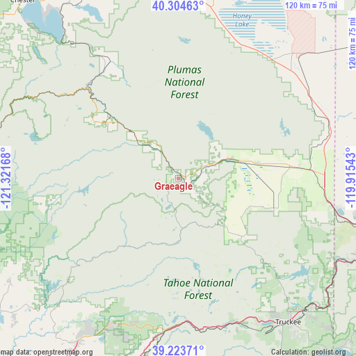
Graeagle GPS coordinates[2]
39° 45' 58.644" North, 120° 37' 6.78" West
| Map corner | latitude | longitude |
|---|---|---|
| Upper-left | 40.30463°, | -121.32168° |
| Center: | 39.76629°, | -120.61855° |
| Lower-right: | 39.22371°, | -119.91543° |
| Map W x H: | 120.2×120.2 km | = 74.7×74.7mi |
| max Lat: | 71.29058° ⇑48.7% North |
| Graeagle: | 39.76629° |
| min Lat: | ⇓51.3% South 19.06759° |
| min Long | Graeagle | max Long |
| -171.73463° | -120.61855° | -66.98998° |
| W 6.6%⇐ | ⇒93.4% E |
Elevation
Elevation of Graeagle is 1337 m = 4386 ft, and this is 1042.2 m = 3419 ft above average elevation for this country.
| Max E: |
3189 m = 10463 ft | 4.5% |
| Graeagle | 1337 m 4386 ft | |
| Avg. | 294.8 m = 967 ft | |
Min E: |
-60 m = -197 ft | 95.5% |
See also: United States elevation on elevation.city.
Geographical zone
Graeagle is located in North temperate zone (between Tropic of Cancer and the Arctic Circle). Distance of this Northern Tropic circle is 1815.7 km =1128.2 mi to South.| Distance of | km | miles | from Graeagle |
|---|---|---|---|
| North Pole | 5585.5 | 3470.7 | to North |
| Arctic Circle | 2979.6 | 1851.4 | to North |
| Tropic Cancer | 1815.7 | 1128.2 | to South |
| Equator | 4421.6 | 2747.5 | to South |


Nearby cities:
15 places around Graeagle: (largest is in red/bold)
• Alta
64.4 km =40 mi,  194°
194°
• Challenge-Brownsville
64.6 km =40.1 mi,  238°
238°
• Cold Springs
55.7 km =34.6 mi,  99°
99°
• Delleker
11.3 km =7 mi,  65°
65°
• Downieville
29.1 km =18.1 mi,  217°
217°
• Doyle
52.7 km =32.7 mi,  56°
56°
• East Quincy
30.3 km =18.8 mi,  308°
308°
• Greenville
50.3 km =31.3 mi,  325°
325°
• Janesville
59.5 km =37 mi,  7°
7°
• Loyalton
33.8 km =21 mi,  107°
107°
• Patton Village
57.4 km =35.7 mi,  43°
43°
• Portola
13.7 km =8.5 mi, 68°
• Quincy
33.8 km =21 mi,  304°
304°
• Truckee
61.4 km =38.2 mi,  142°
142°
• Verdi
60.6 km =37.7 mi,  117°
117°
Sources, notices
• [Note1] Compared only with cities in United States existing in our database
• [Src1] Map data: © OpenStreetMap contributors (CC-BY-SA)
• [Src2] Other city data from geonames.org with taken over terms of usage.
• [Src3] Geographical zone / Annual Mean Temperature by Robert A. Rohde @ Wikipedia
