Healdsburg geodata
Healdsburg (California) is a populated place; located in United States in America/Los_Angeles (GMT-7) time zone. With population of 11,742 people, there are 3957 cities with bigger population in this country. Compared to other cities in United States, 58% of cities are located further ↑North; 97.6% of cities are located further →East and 84.4% of cities have higher elevation than Healdsburg. Note1


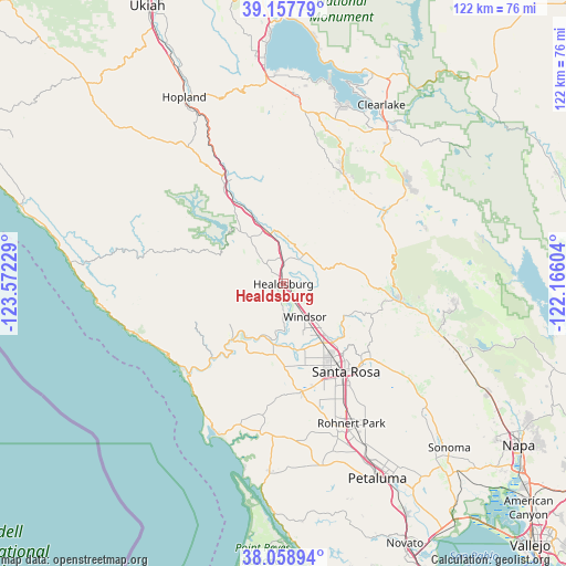
Healdsburg GPS coordinates[2]
38° 36' 37.692" North, 122° 52' 8.976" West
| Map corner | latitude | longitude |
|---|---|---|
| Upper-left | 39.15779°, | -123.57229° |
| Center: | 38.61047°, | -122.86916° |
| Lower-right: | 38.05894°, | -122.16604° |
| Map W x H: | 122.2×122.2 km | = 75.9×75.9mi |
| max Lat: | 71.29058° ⇑58% North |
| Healdsburg: | 38.61047° |
| min Lat: | ⇓42% South 19.06759° |
| min Long | Healdsburg | max Long |
| -171.73463° | -122.86916° | -66.98998° |
| W 2.4%⇐ | ⇒97.6% E |
Elevation
Elevation of Healdsburg is 30 m = 98 ft, and this is 264.8 m = 869 ft below average elevation for this country.
| Max E: |
3189 m = 10463 ft | 84.4% |
| Avg. | 294.8 m = 967 ft | |
| Healdsburg | 30 m = 98 ft | |
Min E: |
-60 m = -197 ft | 15.6% |
See also: United States elevation on elevation.city.
Geographical zone
Healdsburg is located in North temperate zone (between Tropic of Cancer and the Arctic Circle). Distance of this Northern Tropic circle is 1687.2 km =1048.4 mi to South.| Distance of | km | miles | from Healdsburg |
|---|---|---|---|
| North Pole | 5714 | 3550.5 | to North |
| Arctic Circle | 3108.1 | 1931.3 | to North |
| Tropic Cancer | 1687.2 | 1048.4 | to South |
| Equator | 4293.1 | 2667.6 | to South |


Nearby cities:
15 places around Healdsburg: (largest is in red/bold)
• Calistoga
25.4 km =15.8 mi,  97°
97°
• Camp Meeker
22 km =13.7 mi,  200°
200°
• Cloverdale
25.2 km =15.7 mi,  329°
329°
• Forestville
15.3 km =9.5 mi,  186°
186°
• Fulton
15.3 km =9.5 mi,  145°
145°
• Geyserville
11.2 km =7 mi,  345°
345°
• Graton
19.4 km =12.1 mi,  180°
180°
• Guerneville
16.4 km =10.2 mi,  222°
222°
• Larkfield-Wikiup
14.9 km =9.3 mi,  136°
136°
• Monte Rio
20.2 km =12.6 mi, 217°
• Occidental
23.6 km =14.7 mi, 196°
• Roseland
24.3 km =15.1 mi, 149°
• Santa Rosa
23.2 km =14.4 mi, 144°
• Sebastopol
23.5 km =14.6 mi,  170°
170°
• Windsor
8.4 km =5.2 mi, 146°
Sources, notices
• [Note1] Compared only with cities in United States existing in our database
• [Src1] Map data: © OpenStreetMap contributors (CC-BY-SA)
• [Src2] Other city data from geonames.org with taken over terms of usage.
• [Src3] Geographical zone / Annual Mean Temperature by Robert A. Rohde @ Wikipedia
