Lathrop geodata
Lathrop (California) is a populated place; located in United States in America/Los_Angeles (GMT-7) time zone. With population of 20,866 people, there are 2412 cities with bigger population in this country. Compared to other cities in United States, 62.6% of cities are located further ↑North; 94.1% of cities are located further →East and 97.4% of cities have higher elevation than Lathrop. Note1


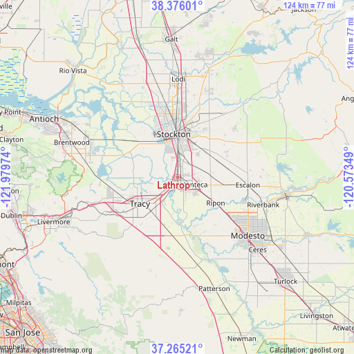
Lathrop GPS coordinates[2]
37° 49' 21.72" North, 121° 16' 35.796" West
| Map corner | latitude | longitude |
|---|---|---|
| Upper-left | 38.37601°, | -121.97974° |
| Center: | 37.8227°, | -121.27661° |
| Lower-right: | 37.26521°, | -120.57349° |
| Map W x H: | 123.5×123.5 km | = 76.7×76.7mi |
| max Lat: | 71.29058° ⇑62.6% North |
| Lathrop: | 37.8227° |
| min Lat: | ⇓37.4% South 19.06759° |
| min Long | Lathrop | max Long |
| -171.73463° | -121.27661° | -66.98998° |
| W 5.9%⇐ | ⇒94.1% E |
Elevation
Elevation of Lathrop is 6 m = 20 ft, and this is 288.8 m = 948 ft below average elevation for this country.
| Max E: |
3189 m = 10463 ft | 97.4% |
| Avg. | 294.8 m = 967 ft | |
| Lathrop | 6 m = 20 ft | |
Min E: |
-60 m = -197 ft | 2.6% |
See also: United States elevation on elevation.city.
Geographical zone
Lathrop is located in North temperate zone (between Tropic of Cancer and the Arctic Circle). Distance of this Northern Tropic circle is 1599.6 km =993.9 mi to South.| Distance of | km | miles | from Lathrop |
|---|---|---|---|
| North Pole | 5801.6 | 3604.9 | to North |
| Arctic Circle | 3195.7 | 1985.7 | to North |
| Tropic Cancer | 1599.6 | 993.9 | to South |
| Equator | 4205.5 | 2613.2 | to South |


Nearby cities:
15 places around Lathrop: (largest is in red/bold)
• August
17.4 km =10.8 mi,  4°
4°
• Country Club
17.2 km =10.7 mi,  340°
340°
• Escalon
24.6 km =15.3 mi,  96°
96°
• French Camp
6.8 km =4.2 mi, 4°
• Garden Acres
16.2 km =10.1 mi,  14°
14°
• Kennedy
12.1 km =7.5 mi, 9°
• Lincoln Village
20.8 km =12.9 mi,  347°
347°
• Manteca
6 km =3.7 mi,  117°
117°
• Morada
24.1 km =15 mi, 6°
• Mountain House
23.8 km =14.8 mi,  259°
259°
• Ripon
16.1 km =10 mi, 123°
• Salida
21.3 km =13.2 mi,  127°
127°
• Stockton
15.1 km =9.4 mi,  355°
355°
• Taft Mosswood
10.2 km =6.3 mi, 356°
• Tracy
16 km =9.9 mi,  234°
234°
Sources, notices
• [Note1] Compared only with cities in United States existing in our database
• [Src1] Map data: © OpenStreetMap contributors (CC-BY-SA)
• [Src2] Other city data from geonames.org with taken over terms of usage.
• [Src3] Geographical zone / Annual Mean Temperature by Robert A. Rohde @ Wikipedia
