Tipton geodata
Tipton (California) is a populated place; located in United States in America/Los_Angeles (GMT-7) time zone. With population of 2,543 people, there are 10512 cities with bigger population in this country. Compared to other cities in United States, 70.2% of cities are located further ↑North; 92.2% of cities are located further →East and 72.8% of cities have higher elevation than Tipton. Note1


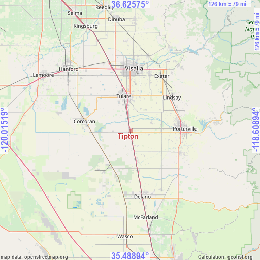
Tipton GPS coordinates[2]
36° 3' 33.84" North, 119° 18' 43.416" West
| Map corner | latitude | longitude |
|---|---|---|
| Upper-left | 36.62575°, | -120.01519° |
| Center: | 36.0594°, | -119.31206° |
| Lower-right: | 35.48894°, | -118.60894° |
| Map W x H: | 126.4×126.4 km | = 78.5×78.5mi |
| max Lat: | 71.29058° ⇑70.2% North |
| Tipton: | 36.0594° |
| min Lat: | ⇓29.8% South 19.06759° |
| min Long | Tipton | max Long |
| -171.73463° | -119.31206° | -66.98998° |
| W 7.8%⇐ | ⇒92.2% E |
Elevation
Elevation of Tipton is 84 m = 276 ft, and this is 210.8 m = 692 ft below average elevation for this country.
| Max E: |
3189 m = 10463 ft | 72.8% |
| Avg. | 294.8 m = 967 ft | |
| Tipton | 84 m = 276 ft | |
Min E: |
-60 m = -197 ft | 27.2% |
See also: United States elevation on elevation.city.
Geographical zone
Tipton is located in North temperate zone (between Tropic of Cancer and the Arctic Circle). Distance of this Northern Tropic circle is 1403.5 km =872.1 mi to South.| Distance of | km | miles | from Tipton |
|---|---|---|---|
| North Pole | 5997.6 | 3726.7 | to North |
| Arctic Circle | 3391.7 | 2107.5 | to North |
| Tropic Cancer | 1403.5 | 872.1 | to South |
| Equator | 4009.4 | 2491.3 | to South |


Nearby cities:
15 places around Tipton: (largest is in red/bold)
• Alpaugh
24.8 km =15.4 mi,  219°
219°
• Corcoran
22.7 km =14.1 mi,  280°
280°
• Earlimart
19.8 km =12.3 mi,  169°
169°
• East Tulare Villa
16.3 km =10.1 mi,  9°
9°
• Lindsay
25.7 km =16 mi,  51°
51°
• Matheny
12.9 km =8 mi,  343°
343°
• Pixley
10.3 km =6.4 mi, 169°
• Plainview
18.6 km =11.6 mi,  59°
59°
• Poplar-Cotton Center
14.6 km =9.1 mi,  91°
91°
• Porterville
26.5 km =16.5 mi, 88°
• Strathmore
24.5 km =15.2 mi,  67°
67°
• Terra Bella
26.4 km =16.4 mi,  114°
114°
• Teviston
14.8 km =9.2 mi, 168°
• Tulare
16.8 km =10.4 mi,  349°
349°
• Woodville
10.8 km =6.7 mi, 69°
Sources, notices
• [Note1] Compared only with cities in United States existing in our database
• [Src1] Map data: © OpenStreetMap contributors (CC-BY-SA)
• [Src2] Other city data from geonames.org with taken over terms of usage.
• [Src3] Geographical zone / Annual Mean Temperature by Robert A. Rohde @ Wikipedia
