Parachute geodata
Parachute (Colorado) is a populated place; located in United States in America/Denver (GMT-6) time zone. With population of 1,105 people, there are 15644 cities with bigger population in this country. Compared to other cities in United States, 51.2% of cities are located further ↑North; 85% of cities are located further →East and 97.1% of cities have lower elevation than Parachute. Note1


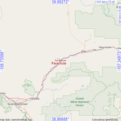
Parachute GPS coordinates[2]
39° 27' 6.912" North, 108° 3' 10.26" West
| Map corner | latitude | longitude |
|---|---|---|
| Upper-left | 39.99272°, | -108.75598° |
| Center: | 39.45192°, | -108.05285° |
| Lower-right: | 38.90688°, | -107.34973° |
| Map W x H: | 120.7×120.7 km | = 75×75mi |
| max Lat: | 71.29058° ⇑51.2% North |
| Parachute: | 39.45192° |
| min Lat: | ⇓48.8% South 19.06759° |
| min Long | Parachute | max Long |
| -171.73463° | -108.05285° | -66.98998° |
| W 15%⇐ | ⇒85% E |
Elevation
Elevation of Parachute is 1558 m = 5112 ft, and this is 1263.2 m = 4144 ft above average elevation for this country.
| Max E: |
3189 m = 10463 ft | 2.9% |
| Parachute | 1558 m 5112 ft | |
| Avg. | 294.8 m = 967 ft | |
Min E: |
-60 m = -197 ft | 97.1% |
See also: United States elevation on elevation.city.
Geographical zone
Parachute is located in North temperate zone (between Tropic of Cancer and the Arctic Circle). Distance of this Northern Tropic circle is 1780.7 km =1106.5 mi to South.| Distance of | km | miles | from Parachute |
|---|---|---|---|
| North Pole | 5620.4 | 3492.4 | to North |
| Arctic Circle | 3014.5 | 1873.1 | to North |
| Tropic Cancer | 1780.7 | 1106.5 | to South |
| Equator | 4386.6 | 2725.7 | to South |


Nearby cities:
15 places around Parachute: (largest is in red/bold)
• Battlement Mesa
2.7 km =1.7 mi,  116°
116°
• Cedaredge
62.1 km =38.6 mi,  169°
169°
• Clifton
52.6 km =32.7 mi,  220°
220°
• Collbran
24.8 km =15.4 mi,  161°
161°
• Fruita
66.7 km =41.4 mi,  240°
240°
• Fruitvale
56.2 km =34.9 mi, 222°
• Glenwood Springs
63.4 km =39.4 mi,  80°
80°
• Grand Junction
60.8 km =37.8 mi, 224°
• Meeker
66.2 km =41.1 mi,  10°
10°
• New Castle
46.3 km =28.8 mi,  73°
73°
• Orchard Mesa
62.6 km =38.9 mi, 223°
• Palisade
45.8 km =28.5 mi,  214°
214°
• Redlands
65.1 km =40.5 mi,  230°
230°
• Rifle
24.9 km =15.5 mi, 68°
• Silt
35.7 km =22.2 mi, 72°
Sources, notices
• [Note1] Compared only with cities in United States existing in our database
• [Src1] Map data: © OpenStreetMap contributors (CC-BY-SA)
• [Src2] Other city data from geonames.org with taken over terms of usage.
• [Src3] Geographical zone / Annual Mean Temperature by Robert A. Rohde @ Wikipedia
