Spur geodata
Spur (Texas) is a populated place; located in United States in America/Chicago (GMT-5) time zone. With population of 1,205 people, there are 15100 cities with bigger population in this country. Compared to other cities in United States, 83.2% of cities are located further ↑North; 81.2% of cities are located further →East and 91% of cities have lower elevation than Spur. Note1


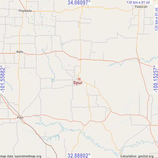
Spur GPS coordinates[2]
33° 28' 35.328" North, 100° 51' 20.484" West
| Map corner | latitude | longitude |
|---|---|---|
| Upper-left | 34.06097°, | -101.55882° |
| Center: | 33.47648°, | -100.85569° |
| Lower-right: | 32.88802°, | -100.15257° |
| Map W x H: | 130.4×130.4 km | = 81×81mi |
| max Lat: | 71.29058° ⇑83.2% North |
| Spur: | 33.47648° |
| min Lat: | ⇓16.8% South 19.06759° |
| min Long | Spur | max Long |
| -171.73463° | -100.85569° | -66.98998° |
| W 18.8%⇐ | ⇒81.2% E |
Elevation
Elevation of Spur is 701 m = 2300 ft, and this is 406.2 m = 1333 ft above average elevation for this country.
| Max E: |
3189 m = 10463 ft | 9% |
| Spur | 701 m 2300 ft | |
| Avg. | 294.8 m = 967 ft | |
Min E: |
-60 m = -197 ft | 91% |
See also: United States elevation on elevation.city.
Geographical zone
Spur is located in North temperate zone (between Tropic of Cancer and the Arctic Circle). Distance of this Northern Tropic circle is 1116.3 km =693.6 mi to South.| Distance of | km | miles | from Spur |
|---|---|---|---|
| North Pole | 6284.8 | 3905.2 | to North |
| Arctic Circle | 3678.9 | 2286 | to North |
| Tropic Cancer | 1116.3 | 693.6 | to South |
| Equator | 3722.2 | 2312.9 | to South |


Nearby cities:
15 places around Spur: (largest is in red/bold)
• Aspermont
69.7 km =43.3 mi,  123°
123°
• Crosbyton
40.9 km =25.4 mi,  299°
299°
• Dickens
16.2 km =10.1 mi,  6°
6°
• Floydada
72 km =44.7 mi,  321°
321°
• Guthrie
51.9 km =32.2 mi,  72°
72°
• Idalou
79.5 km =49.4 mi,  285°
285°
• Jayton
36.5 km =22.7 mi,  134°
134°
• Lorenzo
66.5 km =41.3 mi, 288°
• Matador
59.6 km =37 mi,  2°
2°
• Paducah
78.5 km =48.8 mi,  40°
40°
• Post
58 km =36 mi,  236°
236°
• Ralls
54 km =33.6 mi, 294°
• Ransom Canyon
76.7 km =47.7 mi,  274°
274°
• Rotan
78.3 km =48.7 mi,  152°
152°
• Slaton
73.2 km =45.5 mi, 266°
Sources, notices
• [Note1] Compared only with cities in United States existing in our database
• [Src1] Map data: © OpenStreetMap contributors (CC-BY-SA)
• [Src2] Other city data from geonames.org with taken over terms of usage.
• [Src3] Geographical zone / Annual Mean Temperature by Robert A. Rohde @ Wikipedia
