Puako geodata
Puako (Hawaii) is a populated place; located in United States in Pacific/Honolulu (GMT-10) time zone. With population of 772 people, there are 18040 cities with bigger population in this country. Compared to other cities in United States, 99.8% of cities are located further ↑North; 99.3% of cities are located further →East and 96.6% of cities have higher elevation than Puako. Note1


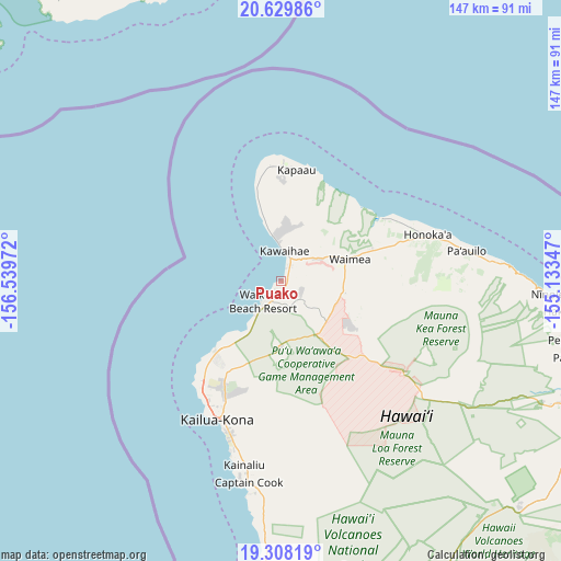
Puako GPS coordinates[2]
19° 58' 13.476" North, 155° 50' 11.724" West
| Map corner | latitude | longitude |
|---|---|---|
| Upper-left | 20.62986°, | -156.53972° |
| Center: | 19.97041°, | -155.83659° |
| Lower-right: | 19.30819°, | -155.13347° |
| Map W x H: | 147×147 km | = 91.3×91.3mi |
| max Lat: | 71.29058° ⇑99.8% North |
| Puako: | 19.97041° |
| min Lat: | ⇓0.2% South 19.06759° |
| min Long | Puako | max Long |
| -171.73463° | -155.83659° | -66.98998° |
| W 0.7%⇐ | ⇒99.3% E |
Elevation
Elevation of Puako is 7 m = 23 ft, and this is 287.8 m = 944 ft below average elevation for this country.
| Max E: |
3189 m = 10463 ft | 96.6% |
| Avg. | 294.8 m = 967 ft | |
| Puako | 7 m = 23 ft | |
Min E: |
-60 m = -197 ft | 3.4% |
See also: United States elevation on elevation.city.
Geographical zone
Puako is located in North Torrid zone (between Equator and Tropic of Cancer). Distance of this Northern Tropic circle is 385.4 km =239.5 mi to North.| Distance of | km | miles | from Puako |
|---|---|---|---|
| North Pole | 7786.6 | 4838.4 | to North |
| Arctic Circle | 5180.7 | 3219.1 | to North |
| Tropic Cancer | 385.4 | 239.5 | to North |
| Equator | 2220.5 | 1379.8 | to South |


Nearby cities:
15 places around Puako: (largest is in red/bold)
• Captain Cook
53.4 km =33.2 mi,  189°
189°
• Honalo
48.2 km =30 mi, 191°
• Honaunau-Napoopoo
57.2 km =35.5 mi,  182°
182°
• Honoka‘a
40.5 km =25.2 mi,  72°
72°
• Hāwī
30.1 km =18.7 mi,  0°
0°
• Hōlualoa
40.7 km =25.3 mi,  196°
196°
• Kahaluu-Keauhou
46.2 km =28.7 mi, 196°
• Kailua-Kona
40.5 km =25.2 mi, 204°
• Kalaoa
30.9 km =19.2 mi,  209°
209°
• Kapaau
29.5 km =18.3 mi,  7°
7°
• Kealakekua
50.8 km =31.6 mi, 190°
• Laupāhoehoe
62.7 km =39 mi,  88°
88°
• Pa‘auilo
49.5 km =30.8 mi,  80°
80°
• Waikoloa
6 km =3.7 mi,  124°
124°
• Waimea
18.1 km =11.2 mi, 71°
Sources, notices
• [Note1] Compared only with cities in United States existing in our database
• [Src1] Map data: © OpenStreetMap contributors (CC-BY-SA)
• [Src2] Other city data from geonames.org with taken over terms of usage.
• [Src3] Geographical zone / Annual Mean Temperature by Robert A. Rohde @ Wikipedia
