Eagle River geodata
Eagle River (Alaska) is a populated place; located in United States in America/Anchorage (GMT-8) time zone. With population of 24,793 people, there are 2028 cities with bigger population in this country. Compared to other cities in United States, 99.7% of cities are located further ↓South; 99% of cities are located further →East and 69.1% of cities have higher elevation than Eagle River. Note1


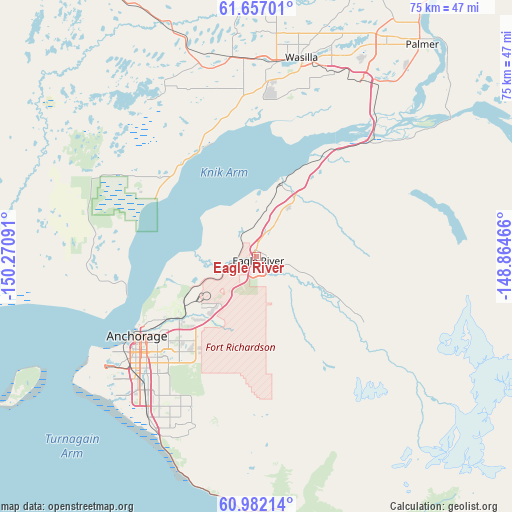
Eagle River GPS coordinates[2]
61° 19' 17.004" North, 149° 34' 4.008" West
| Map corner | latitude | longitude |
|---|---|---|
| Upper-left | 61.65701°, | -150.27091° |
| Center: | 61.32139°, | -149.56778° |
| Lower-right: | 60.98214°, | -148.86466° |
| Map W x H: | 75×75 km | = 46.6×46.6mi |
| max Lat: | 71.29058° ⇑0.3% North |
| Eagle River: | 61.32139° |
| min Lat: | ⇓99.7% South 19.06759° |
| min Long | Eagle River | max Long |
| -171.73463° | -149.56778° | -66.98998° |
| W 1%⇐ | ⇒99% E |
Elevation
Elevation of Eagle River is 106 m = 348 ft, and this is 188.8 m = 619 ft below average elevation for this country.
| Max E: |
3189 m = 10463 ft | 69.1% |
| Avg. | 294.8 m = 967 ft | |
| Eagle River | 106 m = 348 ft | |
Min E: |
-60 m = -197 ft | 30.9% |
See also: United States elevation on elevation.city.
Geographical zone
Eagle River is located in North temperate zone (between Tropic of Cancer and the Arctic Circle). Distance of this North polar circle is 582.9 km =362.2 mi to North.| Distance of | km | miles | from Eagle River |
|---|---|---|---|
| North Pole | 3188.8 | 1981.4 | to North |
| Arctic Circle | 582.9 | 362.2 | to North |
| Tropic Cancer | 4212.4 | 2617.5 | to South |
| Equator | 6818.3 | 4236.7 | to South |


Nearby cities:
15 places around Eagle River: (largest is in red/bold)
• Anchorage
21.2 km =13.2 mi,  237°
237°
• Big Lake
30.3 km =18.8 mi,  317°
317°
• Butte
37.6 km =23.4 mi,  49°
49°
• Elmendorf Air Force Base
7.9 km =4.9 mi,  205°
205°
• Farm Loop
41.9 km =26 mi,  32°
32°
• Gateway
32.9 km =20.4 mi, 31°
• Houston
36.8 km =22.9 mi,  338°
338°
• Knik River
38.1 km =23.7 mi,  66°
66°
• Knik-Fairview
21.3 km =13.2 mi,  355°
355°
• Lakes
34.6 km =21.5 mi,  23°
23°
• Meadow Lakes
33.8 km =21 mi, 356°
• Palmer
39.2 km =24.4 mi,  37°
37°
• Point MacKenzie
22.3 km =13.9 mi,  281°
281°
• Tanaina
34.8 km =21.6 mi,  12°
12°
• Wasilla
29.6 km =18.4 mi, 13°
Sources, notices
• [Note1] Compared only with cities in United States existing in our database
• [Src1] Map data: © OpenStreetMap contributors (CC-BY-SA)
• [Src2] Other city data from geonames.org with taken over terms of usage.
• [Src3] Geographical zone / Annual Mean Temperature by Robert A. Rohde @ Wikipedia
