Meadow Lakes geodata
Meadow Lakes (Alaska) is a populated place; located in United States in America/Anchorage (GMT-8) time zone. With population of 7,570 people, there are 5504 cities with bigger population in this country. Compared to other cities in United States, 99.8% of cities are located further ↓South; 99% of cities are located further →East and 68.3% of cities have higher elevation than Meadow Lakes. Note1


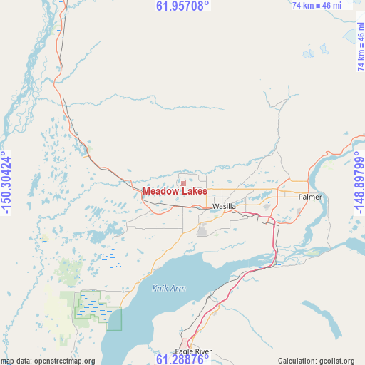
Meadow Lakes GPS coordinates[2]
61° 37' 28.992" North, 149° 36' 3.996" West
| Map corner | latitude | longitude |
|---|---|---|
| Upper-left | 61.95708°, | -150.30424° |
| Center: | 61.62472°, | -149.60111° |
| Lower-right: | 61.28876°, | -148.89799° |
| Map W x H: | 74.3×74.3 km | = 46.2×46.2mi |
| max Lat: | 71.29058° ⇑0.2% North |
| Meadow Lakes: | 61.62472° |
| min Lat: | ⇓99.8% South 19.06759° |
| min Long | Meadow Lakes | max Long |
| -171.73463° | -149.60111° | -66.98998° |
| W 1%⇐ | ⇒99% E |
Elevation
Elevation of Meadow Lakes is 111 m = 364 ft, and this is 183.8 m = 603 ft below average elevation for this country.
| Max E: |
3189 m = 10463 ft | 68.3% |
| Avg. | 294.8 m = 967 ft | |
| Meadow Lakes | 111 m = 364 ft | |
Min E: |
-60 m = -197 ft | 31.7% |
See also: United States elevation on elevation.city.
Geographical zone
Meadow Lakes is located in North temperate zone (between Tropic of Cancer and the Arctic Circle). Distance of this North polar circle is 549.1 km =341.2 mi to North.| Distance of | km | miles | from Meadow Lakes |
|---|---|---|---|
| North Pole | 3155 | 1960.4 | to North |
| Arctic Circle | 549.1 | 341.2 | to North |
| Tropic Cancer | 4246.1 | 2638.4 | to South |
| Equator | 6852 | 4257.6 | to South |


Nearby cities:
15 places around Meadow Lakes: (largest is in red/bold)
• Big Lake
21.9 km =13.6 mi,  238°
238°
• Buffalo Soapstone
28.3 km =17.6 mi,  68°
68°
• Butte
31.4 km =19.5 mi,  106°
106°
• Eagle River
33.8 km =21 mi,  176°
176°
• Farm Loop
24.3 km =15.1 mi,  86°
86°
• Fishhook
23.4 km =14.5 mi,  55°
55°
• Gateway
19.9 km =12.4 mi, 106°
• Houston
11.5 km =7.1 mi,  273°
273°
• Knik-Fairview
12.5 km =7.8 mi, 179°
• Lakes
15.6 km =9.7 mi,  97°
97°
• Lazy Mountain
34.6 km =21.5 mi, 89°
• Palmer
25.9 km =16.1 mi, 96°
• Tanaina
9.1 km =5.7 mi, 88°
• Wasilla
9.7 km =6 mi,  119°
119°
• Willow
26.7 km =16.6 mi,  300°
300°
Sources, notices
• [Note1] Compared only with cities in United States existing in our database
• [Src1] Map data: © OpenStreetMap contributors (CC-BY-SA)
• [Src2] Other city data from geonames.org with taken over terms of usage.
• [Src3] Geographical zone / Annual Mean Temperature by Robert A. Rohde @ Wikipedia
